|
search place name
|
||
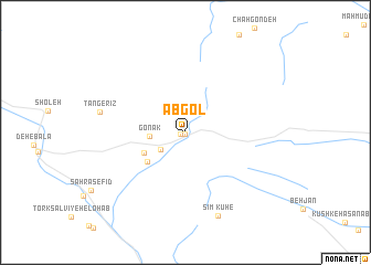
Ābgol (Fārs, Iran)Ābgol is a town in the Fārs region of Iran. An overview map of the region around Ābgol is displayed below.
regional and 3d topo map of Ābgol, Iran ::
Ābgol airports ::
The nearest airport is SYZ - Shiraz Shahid Dastghaib Intl, located 78.1 km north of Ābgol.
Nearby towns ::
Afrā (0.2km south) //
Chah Kūshk (0.5km south west) //
Tork Salvīyeh-e Bālā (2.8km south west) //
Gonak (3.2km west) //
Gowd Kahlūyeh (4.2km south west) //
Pareh Zeytūn (4.5km south west) //
Tang-e Rīz (7.8km west) //
Kūh-e Sīm (8.9km south) //
[all distances 'as the bird flies' and approximate] 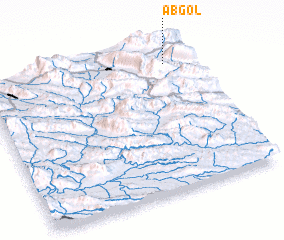 Places with similar names to Ābgol, Iran ::
// Abū Kaylah (EG)
// Abakly (UA)
// Ābkalū (IR)
// Āb Kel (IR)
// Ābkolāh (IR)
// Abakle (GH)
// Abakule (UG)
// Abū Kālā (SY)
// Abikal (PG)
// Aboow Cali (SO)
Disclaimer :: Information on this page comes without warranty of any kind |
||
|
Where is Ābgol? Elevation and coordinates ::
Latitude (lat): 28°53'7"N Longitude (lon): 52°53'16"E
Elevation (approx.): 1909m (map arrows pan, magnifying glasses zoom) |
||
|
Visiting Ābgol? Hotel/Accommodation ::
Book a hotel in Ābgol Travel Guide ::
Buy a travel guide for Iran rental cars ::
car rental offers GPS waypoint ::
download a GPX waypoint (PoI) of Ābgol for your GPS receiver
|
||