|
search place name
|
||
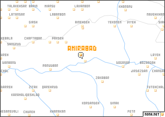
Amīrābād (Iran)Amīrābād is a town in Iran. An overview map of the region around Amīrābād is displayed below.
regional and 3d topo map of Amīrābād, Iran ::
Amīrābād airports ::
The nearest airport is RAS - Rasht, located 78.7 km north of Amīrābād.
Other airports nearby include RZR - Ramsar (84.3 km east), THR - Teheran Mehrabad Intl (171.8 km south east), Nearby towns ::
Dasht Zar (0.8km south east) //
Eskābon (4.8km north west) //
Pāk Deh (5.8km north west) //
Jīrandeh (6.9km north) //
Zakābar (6.5km south east) //
Mīān Kūshk (7.4km north) //
Āʼīneh Deh (7.4km north) //
Pā Rūdbār (6.4km south west) //
Now Deh (7.0km north west) //
Qareh Rūd (9.5km south west) //
Yekonem (9.5km north east) //
[all distances 'as the bird flies' and approximate] 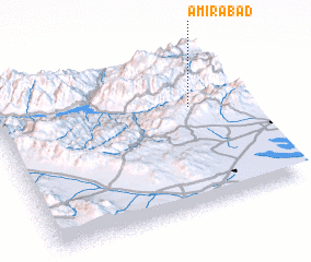 Places with similar names to Amīrābād, Iran ::
Disclaimer :: Information on this page comes without warranty of any kind |
||
|
Where is Amīrābād? Elevation and coordinates ::
Latitude (lat): 36°38'0"N Longitude (lon): 49°48'0"E
Elevation (approx.): 777m (map arrows pan, magnifying glasses zoom) |
||
|
Visiting Amīrābād? Hotel/Accommodation ::
Book a hotel in Amīrābād Travel Guide ::
Buy a travel guide for Iran rental cars ::
car rental offers GPS waypoint ::
download a GPX waypoint (PoI) of Amīrābād for your GPS receiver
|
||