|
search place name
|
||
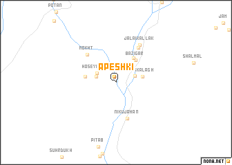
Āpeshkī (Sīstān va Balūchestān, Iran)Āpeshkī is a town in the Sīstān va Balūchestān region of Iran. An overview map of the region around Āpeshkī is displayed below.
regional and 3d topo map of Āpeshkī, Iran ::
Āpeshkī airports ::
The nearest airport is ZBR - Chah Bahar, located 77.4 km south of Āpeshkī.
Nearby towns ::
Golandām (3.0km west) //
Dīnār Kallak (3.0km east) //
Ḩoseynābād (3.1km north west) //
Rīs Kalāgh (3.9km east) //
Bāzīgar (4.6km north east) //
Kūpch (4.7km north east) //
Hītak (4.6km west) //
Nīkū Jahān (6.1km south) //
Mokht (6.1km north west) //
Pīr Bīsheh (6.5km north east) //
Jalā'ī Kallak (7.0km north east) //
[all distances 'as the bird flies' and approximate] 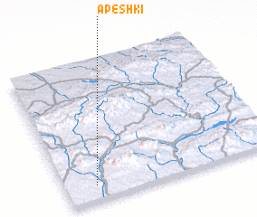 Places with similar names to Āpeshkī, Iran ::
Disclaimer :: Information on this page comes without warranty of any kind |
||
|
Where is Āpeshkī? Elevation and coordinates ::
Latitude (lat): 26°6'31"N Longitude (lon): 60°8'42"E
Elevation (approx.): 335m (map arrows pan, magnifying glasses zoom) |
||
|
Visiting Āpeshkī? Hotel/Accommodation ::
Book a hotel in Āpeshkī Travel Guide ::
Buy a travel guide for Iran rental cars ::
car rental offers GPS waypoint ::
download a GPX waypoint (PoI) of Āpeshkī for your GPS receiver
|
||