|
search place name
|
||
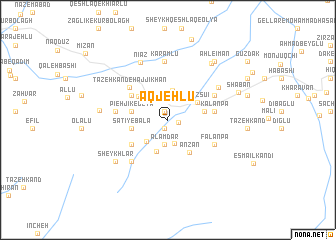
Aqjehlū (Ardabīl, Iran)Aqjehlū is a town in the Ardabīl region of Iran. An overview map of the region around Aqjehlū is displayed below.
regional and 3d topo map of Aqjehlū, Iran ::
Aqjehlū airports ::
The nearest airport is TBZ - Tabriz Intl, located 106.3 km west of Aqjehlū.
Nearby towns ::
Yengejeh (1.0km north) //
Qīnarjeh (1.0km south) //
Sūlākhlū (1.0km east) //
Kāz̧emābād (2.7km south) //
‘Alamdār (2.8km south) //
Sāţī-ye Vostá (3.3km north) //
Pāshālū (3.0km south west) //
Kūh Kenār (3.6km south) //
Nīāz Sū'ī (3.2km north east) //
Pīeh Jīk-e ‘Olyā (3.3km west) //
Sāţī-ye Bālā (3.3km west) //
Pīeh Jīk-e Soflá (3.3km west) //
Būzdū Bolāgh (3.3km east) //
Sāţī-ye Soflá (3.7km north west) //
Anzān (4.1km south east) //
Āghchehlū (4.2km south west) //
Gūzvān-e Kūchak (4.2km north west) //
Kalānpā (4.2km east) //
Tāzeh Kand-e Ḩājjīkhān (4.9km north west) //
Falānpā (4.9km south east) //
Ātashgāh (4.9km north east) //
Gūzvān-e Bozorg (4.7km west) //
Qīzjah (5.6km south west) //
Karamlū (6.5km north) //
Dūshānlū (5.8km north east) //
Nīāz (6.8km north) //
Sheykhlār (6.5km south west) //
Karkasheh (6.5km south west) //
Mīrzānd (6.1km west) //
[all distances 'as the bird flies' and approximate] 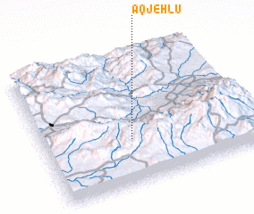 Places with similar names to Aqjehlū, Iran ::
Disclaimer :: Information on this page comes without warranty of any kind |
||
|
Where is Aqjehlū? Elevation and coordinates ::
Latitude (lat): 38°20'30"N Longitude (lon): 47°25'11"E
Elevation (approx.): 1448m (map arrows pan, magnifying glasses zoom) |
||
|
Visiting Aqjehlū? Hotel/Accommodation ::
Book a hotel in Aqjehlū Travel Guide ::
Buy a travel guide for Iran rental cars ::
car rental offers GPS waypoint ::
download a GPX waypoint (PoI) of Aqjehlū for your GPS receiver
|
||