|
search place name
|
||
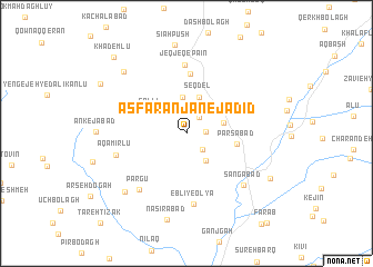
Asfaranjān-e Jadīd (Ardabīl, Iran)Asfaranjān-e Jadīd is a town in the Ardabīl region of Iran. An overview map of the region around Asfaranjān-e Jadīd is displayed below.
regional and 3d topo map of Asfaranjān-e Jadīd, Iran ::
Asfaranjān-e Jadīd airports ::
The nearest airport is RAS - Rasht, located 132.2 km south east of Asfaranjān-e Jadīd.
Other airports nearby include TBZ - Tabriz Intl (179.4 km west), Nearby towns ::
Asfaranjān (1.6km east) //
Golqeshlāq (1.9km north east) //
Lakandasht (2.1km south east) //
Pīrahnī (3.1km south east) //
Dābānlū (3.7km north) //
Pīr Āghāj (3.1km east) //
Seqdel (3.8km north) //
Gollī (3.6km north west) //
Pārsābād (4.1km east) //
Jeqjeq-e Vostá (6.0km north) //
Jeqjeq-e ‘Olyā (6.0km north) //
Jeqjeq-e Pā'īn (6.9km north) //
Eblī-ye ‘Olyā (7.2km south) //
Eblī-ye Soflá (7.2km south) //
Pargū (6.8km south west) //
Āqā Mīrlū (6.0km west) //
Sangābād (6.9km south east) //
Toshmanlū (7.6km south west) //
Naşīrābād (8.8km south) //
Pīleh Sehrān (7.9km north west) //
Qareh Qeshlāq (8.0km south east) //
Vakīlābād (8.5km north west) //
Khādemlū (9.5km north west) //
[all distances 'as the bird flies' and approximate] 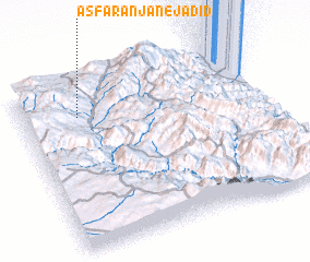 Places with similar names to Asfaranjān-e Jadīd, Iran :: Disclaimer :: Information on this page comes without warranty of any kind |
||
|
Where is Asfaranjān-e Jadīd? Elevation and coordinates ::
Latitude (lat): 37°47'54"N Longitude (lon): 48°13'55"E
Elevation (approx.): 1742m (map arrows pan, magnifying glasses zoom) |
||
|
Visiting Asfaranjān-e Jadīd? Hotel/Accommodation ::
Book a hotel in Asfaranjān-e Jadīd Travel Guide ::
Buy a travel guide for Iran rental cars ::
car rental offers GPS waypoint ::
download a GPX waypoint (PoI) of Asfaranjān-e Jadīd for your GPS receiver
|
||