|
search place name
|
||
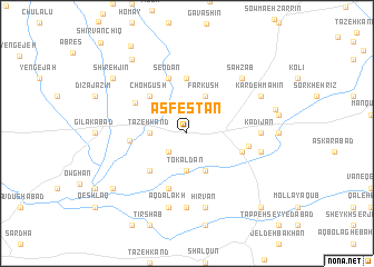
Asfestān (Ostān-e Āz̄arbāyjān-e Sharqī, Iran)Asfestān is a town in the Ostān-e Āz̄arbāyjān-e Sharqī region of Iran. An overview map of the region around Asfestān is displayed below.
regional and 3d topo map of Asfestān, Iran ::
Asfestān airports ::
The nearest airport is TBZ - Tabriz Intl, located 121.9 km west of Asfestān.
Nearby towns ::
Zīr Āsef (2.4km south west) //
Tāzeh Kand (2.9km west) //
Gonbadān (3.7km south) //
Tokaldān (3.7km south) //
Asb Gerān (4.0km south) //
Farkūsh (4.0km north) //
Dashtjerān (4.7km south west) //
Choh Gūsh (4.7km north west) //
Cheqūsh (4.7km north west) //
Eslāmābād (5.6km north) //
Sarāb (4.6km west) //
Senzīq (4.8km south east) //
Sendān (5.7km north) //
Qarā Dālākh (5.7km south) //
Qal‘eh-ye Jūq (5.1km north west) //
Ţārān (5.1km east) //
Dūnīq (7.4km south) //
Kādījān (5.8km east) //
Āq Dālākh (7.6km south) //
Hīrvān (7.6km south) //
Shūreh Del (6.1km east) //
Sahzāb (7.1km north east) //
Kardeh Mahīn (6.9km north east) //
Āghmīūn (7.4km east) //
Shīreh Jīn (8.1km north west) //
Kandovān (8.6km north west) //
Dālākhlār (8.1km south west) //
Rāzlīq (9.8km north west) //
Ḩasanjān (9.4km south east) //
[all distances 'as the bird flies' and approximate] 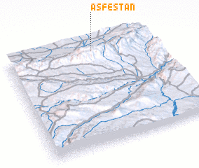 Places with similar names to Asfestān, Iran ::
// Asfastān (IR)
Disclaimer :: Information on this page comes without warranty of any kind |
||
|
Where is Asfestān? Elevation and coordinates ::
Latitude (lat): 37°56'0"N Longitude (lon): 47°36'0"E
Elevation (approx.): 1687m (map arrows pan, magnifying glasses zoom) |
||
|
Visiting Asfestān? Hotel/Accommodation ::
Book a hotel in Asfestān Travel Guide ::
Buy a travel guide for Iran rental cars ::
car rental offers GPS waypoint ::
download a GPX waypoint (PoI) of Asfestān for your GPS receiver
|
||