|
search place name
|
||
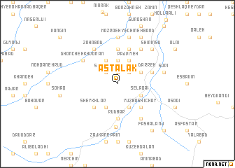
Astalak (Iran)Astalak is a town in Iran. An overview map of the region around Astalak is displayed below.
regional and 3d topo map of Astalak, Iran ::
Astalak airports ::
The nearest airport is RAS - Rasht, located 101.8 km north of Astalak.
Other airports nearby include RZR - Ramsar (122.8 km north east), THR - Teheran Mehrabad Intl (186.3 km south east), Nearby towns ::
Kahrīz (1.9km north) //
Arqolī (2.4km north east) //
Shākhānī (2.4km north west) //
Yeylāq-e Pejūyeh (3.7km north) //
Qareh Darreh (3.5km north east) //
Eslāmābād (3.5km south east) //
Selāqā'ī (3.5km south east) //
Pajvīyeh (4.0km north) //
Āq Zamīn (4.0km north) //
Chāy Zamīn (4.0km north) //
Qomārlū (4.0km south) //
Emāmzādeh Qāsem (4.0km south) //
Yūzbāshī Chāy (4.8km south east) //
Sheykhlar (4.8km south west) //
Rūdbar (5.6km south) //
Chaneh Band (5.6km north) //
Beyg Bāghī (4.8km north east) //
Chīneh Band (5.8km north) //
Bād Cheshmeh (6.3km north east) //
Dargoveyr (6.3km south east) //
Zahābād (6.3km north west) //
Ghoncheh Khvorān (5.8km north west) //
Zājkān-e Bālā (6.9km south) //
Īl Chūpān (7.4km north) //
Mazra‘eh-ye Chīneh Band (7.6km north) //
Dāsh Kharman (7.6km north) //
Sūrī (6.2km east) //
Qezel Darreh (7.1km north east) //
Shīrīn Sū (7.1km north east) //
[all distances 'as the bird flies' and approximate] 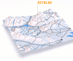
Disclaimer :: Information on this page comes without warranty of any kind |
||
|
Where is Astalak? Elevation and coordinates ::
Latitude (lat): 36°25'0"N Longitude (lon): 49°27'0"E
Elevation (approx.): 1557m (map arrows pan, magnifying glasses zoom) |
||
|
Visiting Astalak? Hotel/Accommodation ::
Book a hotel in Astalak Travel Guide ::
Buy a travel guide for Iran rental cars ::
car rental offers GPS waypoint ::
download a GPX waypoint (PoI) of Astalak for your GPS receiver
|
||