|
search place name
|
||
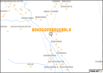
Bahādorābād-e Bālā (Kermān, Iran)Bahādorābād-e Bālā is a town in the Kermān region of Iran. An overview map of the region around Bahādorābād-e Bālā is displayed below.
regional and 3d topo map of Bahādorābād-e Bālā, Iran ::
Bahādorābād-e Bālā airports ::
The nearest airport is BND - Bandar Abbass Intl, located 182.1 km south west of Bahādorābād-e Bālā.
Nearby towns ::
Qāsemābād (1.7km north east) //
Deh Larān (1.8km south east) //
Qāsemābād (3.2km south east) //
Sa‘īdābād-e Sohrān (4.7km south) //
Bahādorābād-e Pā'īn (4.6km south east) //
Seyyedābād-e Sohrān (5.0km south) //
Reẕāābād (5.7km south) //
Amīrābād (5.6km south east) //
‘Abbāsābād (7.1km north west) //
Kam Sorkh (7.7km south east) //
Sohrān-e Pā'īn (7.9km south) //
Farrokhābād (8.0km north) //
‘Abdollāhābād (8.3km north) //
Sohrān-e Bālā (8.4km south) //
Jangalābād-e Pā'īn (8.2km north west) //
Raḩmatābād (9.7km north west) //
[all distances 'as the bird flies' and approximate] 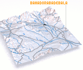 Places with similar names to Bahādorābād-e Bālā, Iran :: Disclaimer :: Information on this page comes without warranty of any kind |
||
|
Where is Bahādorābād-e Bālā? Elevation and coordinates ::
Latitude (lat): 28°12'32"N Longitude (lon): 57°51'5"E
Elevation (approx.): 520m (map arrows pan, magnifying glasses zoom) |
||
|
Visiting Bahādorābād-e Bālā? Hotel/Accommodation ::
Book a hotel in Bahādorābād-e Bālā Travel Guide ::
Buy a travel guide for Iran rental cars ::
car rental offers GPS waypoint ::
download a GPX waypoint (PoI) of Bahādorābād-e Bālā for your GPS receiver
|
||