|
search place name
|
||
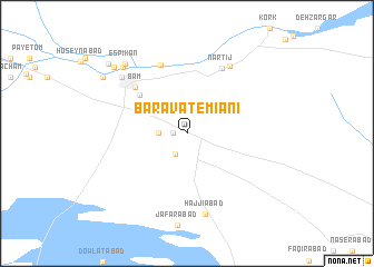
Baravāt-e Mīānī (Sīstān va Balūchestān, Iran)Baravāt-e Mīānī is a town in the Sīstān va Balūchestān region of Iran. An overview map of the region around Baravāt-e Mīānī is displayed below.
regional and 3d topo map of Baravāt-e Mīānī, Iran ::
Baravāt-e Mīānī airports ::
The nearest airport is KER - Kerman, located 194.6 km north west of Baravāt-e Mīānī.
Nearby towns ::
Baravāt (1.2km west) //
Baravāt-e Pā'īn (2.3km south west) //
Chehel Cherāgh (2.5km west) //
Baravāt-e Bālā (2.5km west) //
Aḩmadīyeh (5.6km north west) //
Raḩīmābād (5.6km north west) //
Bam (6.5km north west) //
Posht Rūd (7.3km north) //
Nārtīj (7.2km north east) //
Moḩammadābād-e Kork (7.7km north east) //
Ḩājjīābād (8.2km south) //
Deh Shotor (8.0km north west) //
Chehel Tokhm (8.7km north west) //
Espīkān (8.8km north west) //
Zeydābād (9.2km north west) //
Ḩamzeh'ī (9.3km north west) //
Rū-ye Jū-ye Deh Shotor (9.3km north west) //
Bāgh Chemak (9.8km north west) //
[all distances 'as the bird flies' and approximate] 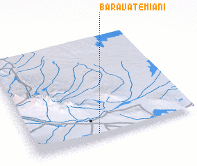 Places with similar names to Baravāt-e Mīānī, Iran :: Disclaimer :: Information on this page comes without warranty of any kind |
||
|
Where is Baravāt-e Mīānī? Elevation and coordinates ::
Latitude (lat): 29°3'57"N Longitude (lon): 58°24'32"E
Elevation (approx.): 1002m (map arrows pan, magnifying glasses zoom) |
||
|
Visiting Baravāt-e Mīānī? Hotel/Accommodation ::
Book a hotel in Baravāt-e Mīānī Travel Guide ::
Buy a travel guide for Iran rental cars ::
car rental offers GPS waypoint ::
download a GPX waypoint (PoI) of Baravāt-e Mīānī for your GPS receiver
|
||