|
search place name
|
||
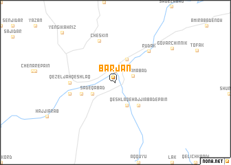
Bar Jān (Iran)Bar Jān is a town in Iran. An overview map of the region around Bar Jān is displayed below.
regional and 3d topo map of Bar Jān, Iran ::
Bar Jān airports ::
The nearest airport is THR - Teheran Mehrabad Intl, located 132.6 km east of Bar Jān.
Other airports nearby include RZR - Ramsar (158.4 km north east), RAS - Rasht (187.2 km north), Nearby towns ::
Yerjān (1.9km north) //
Rostamābād (2.6km north east) //
Qeshlāq-e Ḩājjīābād-e Bālā (4.0km south) //
Şādeqābād (3.5km south west) //
Qal‘eh-ye Raḩmatābād (4.0km north) //
Qeshlāq-e Ḩājjīābād-e Pā'īn (4.8km south east) //
Rūvān (4.9km west) //
Cheskīn (7.1km north) //
Rūdak (6.7km north east) //
Qezeljah Qeshlāq (6.0km west) //
Bālā Khānlū (6.3km west) //
Yengī Kahrīz (10.7km north west) //
[all distances 'as the bird flies' and approximate] 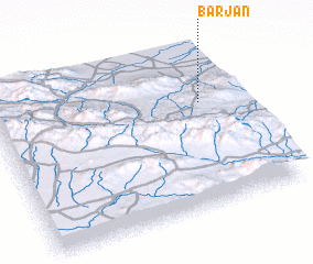 Places with similar names to Bar Jān, Iran ::
// Bergen (AT)
// Bergen (AT)
// Bergin (AT)
// Brögen (AT)
// Burro John (US)
// Bargen (DE)
// Bargen (DE)
// Bargen (DE)
// Bargen (DE)
// Bauerrögen (DE)
Disclaimer :: Information on this page comes without warranty of any kind |
||
|
Where is Bar Jān? Elevation and coordinates ::
Latitude (lat): 35°39'0"N Longitude (lon): 49°51'0"E
Elevation (approx.): 1508m (map arrows pan, magnifying glasses zoom) |
||
|
Visiting Bar Jān? Hotel/Accommodation ::
Book a hotel in Bar Jān Travel Guide ::
Buy a travel guide for Iran rental cars ::
car rental offers GPS waypoint ::
download a GPX waypoint (PoI) of Bar Jān for your GPS receiver
|
||