|
search place name
|
||
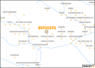
Borūgerd (Lorestān, Iran)Borūgerd is a town in the Lorestān region of Iran. An overview map of the region around Borūgerd is displayed below.
regional and 3d topo map of Borūgerd, Iran ::
Borūgerd airports ::
The nearest airport is QMJ - Masjed Soleiman Shahid Asyaee, located 142.7 km south east of Borūgerd.
Other airports nearby include KSH - Bakhtaran Shahid Ashrafi Esfahani (190.1 km north west), AWZ - Ahwaz (204.9 km south), Nearby towns ::
Halākadar (0.0km north) //
Jāzestān (1.6km east) //
Zardeh-ye Bālā (1.9km south) //
Cheshmeh-ye Kareh (2.4km north east) //
Zardeh-ye Pā'īn (3.7km south) //
Khāngāh (4.7km east) //
Īstgāh-e Keshvar (5.6km south west) //
Defqāndar (5.0km west) //
Sar Dazleh (5.0km east) //
Ālīr (5.0km east) //
Do Sang (5.0km east) //
Ḩokūmatī (6.2km west) //
Pīlehgāh (6.5km west) //
Chūl (7.3km south west) //
Dehgāh (7.2km north west) //
Yāsūr (8.8km north east) //
Najaft (8.8km north east) //
‘Alīābād (9.7km north east) //
[all distances 'as the bird flies' and approximate] 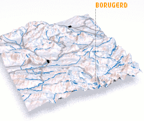 Places with similar names to Borūgerd, Iran ::
// Borūjerd (IR)
// Borūjerd (IR)
// Bara Jorda (IN)
// Burj Ratta (PK)
// Bergeraud (HT)
// Bergeröd (SE)
// Bergerud (SE)
// Bergerud (SE)
Disclaimer :: Information on this page comes without warranty of any kind |
||
|
Where is Borūgerd? Elevation and coordinates ::
Latitude (lat): 33°11'0"N Longitude (lon): 48°40'0"E
Elevation (approx.): 1543m (map arrows pan, magnifying glasses zoom) |
||
|
Visiting Borūgerd? Hotel/Accommodation ::
Book a hotel in Borūgerd Travel Guide ::
Buy a travel guide for Iran rental cars ::
car rental offers GPS waypoint ::
download a GPX waypoint (PoI) of Borūgerd for your GPS receiver
|
||