|
search place name
|
||
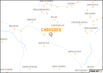
Chāh Gorg (Chahār Maḩāll va Bakhtīār, Iran)Chāh Gorg is a town in the Chahār Maḩāll va Bakhtīār region of Iran. An overview map of the region around Chāh Gorg is displayed below.
regional and 3d topo map of Chāh Gorg, Iran ::
Chāh Gorg airports ::
The nearest airport is QMJ - Masjed Soleiman Shahid Asyaee, located 173.2 km west of Chāh Gorg.
Other airports nearby include MRX - Bandar Mahshahr Mahshahr (262.8 km south west), Nearby towns ::
Ţāherābād-e Bālā (2.4km west) //
Chāh-e Anjīr (3.8km north east) //
Sārī Qīyeh (4.1km south west) //
Darreh Dowlī (5.5km north) //
‘Affān (6.3km north) //
Ḩājjīābād-e Rokh (8.7km north) //
Āb Berūy (8.0km north west) //
Shādī Khvār (9.6km south east) //
[all distances 'as the bird flies' and approximate] 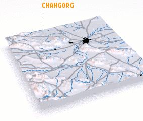 Places with similar names to Chāh Gorg, Iran ::
Disclaimer :: Information on this page comes without warranty of any kind |
||
|
Where is Chāh Gorg? Elevation and coordinates ::
Latitude (lat): 32°15'10"N Longitude (lon): 51°4'55"E
Elevation (approx.): 2320m (map arrows pan, magnifying glasses zoom) |
||
|
Visiting Chāh Gorg? Hotel/Accommodation ::
Book a hotel in Chāh Gorg Travel Guide ::
Buy a travel guide for Iran rental cars ::
car rental offers GPS waypoint ::
download a GPX waypoint (PoI) of Chāh Gorg for your GPS receiver
|
||