|
search place name
|
||
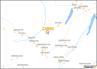
Chāhū (Kermān, Iran)Chāhū is a town in the Kermān region of Iran. An overview map of the region around Chāhū is displayed below.
regional and 3d topo map of Chāhū, Iran ::
Chāhū airports ::
The nearest airport is KER - Kerman, located 74.1 km south east of Chāhū.
Nearby towns ::
Chāhū'īyeh (4.4km north east) //
Dāvarānū'īyeh (4.9km south) //
Pātgūn (5.1km north east) //
Deh Now (6.0km south) //
Zārchestān (5.8km south west) //
Bāb-e Havīz (6.0km south west) //
Ḩoseynābād (6.0km south west) //
Zārkū'īyeh (5.8km south west) //
Jorjāfak (6.5km south) //
Chāh Gīn (5.9km west) //
Khoveyt (6.7km south) //
Chenārū'īyeh (6.2km south east) //
Rūshanū'īyeh (6.6km south east) //
Sartakht (7.9km south) //
Nedenū'īyeh (8.2km south) //
Deh Now (8.8km south) //
[all distances 'as the bird flies' and approximate] 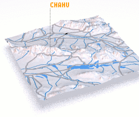 Places with similar names to Chāhū, Iran ::
Disclaimer :: Information on this page comes without warranty of any kind |
||
|
Where is Chāhū? Elevation and coordinates ::
Latitude (lat): 30°41'46"N Longitude (lon): 56°21'7"E
Elevation (approx.): 1889m (map arrows pan, magnifying glasses zoom) |
||
|
Visiting Chāhū? Hotel/Accommodation ::
Book a hotel in Chāhū Travel Guide ::
Buy a travel guide for Iran rental cars ::
car rental offers GPS waypoint ::
download a GPX waypoint (PoI) of Chāhū for your GPS receiver
|
||