|
search place name
|
||
Cham (Eşfahān, Iran)Cham is a town in the Eşfahān region of Iran. An overview map of the region around Cham is displayed below.
regional and 3d topo map of Cham, Iran ::

Nearby towns ::
Fīlevarjān (0.6km north) //
Nahrjān (0.8km south west) //
Cham-e Gūsāleh (1.0km north east) //
Ardāl (1.1km north) //
Nargān (1.4km south west) //
Bejgerd (1.5km north west) //
Sohr Fīrūzān (2.1km south) //
Lārgān (2.3km north west) //
Jūjī (2.1km east) //
Gāv Nān (2.2km west) //
Tād (2.8km south) //
Mehrenjān-e Otrak (2.5km west) //
Rārā (2.7km north east) //
Ḩājjīābād (2.6km north east) //
Kolgūn (3.0km south) //
Pīr Bakrān (3.3km east) //
Pāvā (3.3km east) //
Karafshān (3.7km south east) //
Dorcheh ‘Ābed (3.7km north west) //
Venhar (3.9km south) //
Ja‘far (3.6km north west) //
Jīlāb (3.6km north west) //
Mamad (3.6km north west) //
Khorūshād (3.7km south east) //
Ḩabībābād (4.2km north) //
Zafreh (4.1km north west) //
Sangāncheh (3.9km east) //
Bāghūmeh (4.6km north) //
Sahlavān (4.6km north) //
[all distances 'as the bird flies' and approximate] 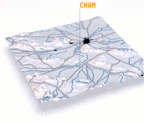 Places with similar names to Cham, Iran ::
Disclaimer :: Information on this page comes without warranty of any kind |
||
|
Where is Cham? Elevation and coordinates ::
Latitude (lat): 32°28'34"N Longitude (lon): 51°31'35"E
Elevation (approx.): 1628m (map arrows pan, magnifying glasses zoom) |
||
|
Visiting Cham? Hotel/Accommodation ::
Book a hotel in Cham Travel Guide ::
Buy a travel guide for Iran rental cars ::
car rental offers GPS waypoint ::
download a GPX waypoint (PoI) of Cham for your GPS receiver
|
||