|
search place name
|
||
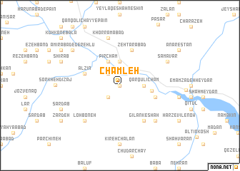
Chamleh (Iran)Chamleh is a town in Iran. An overview map of the region around Chamleh is displayed below.
regional and 3d topo map of Chamleh, Iran ::
Chamleh airports ::
The nearest airport is RAS - Rasht, located 77.4 km north east of Chamleh.
Other airports nearby include RZR - Ramsar (147.3 km east), Nearby towns ::
Qameshak (0.0km north) //
Tashvīr (2.4km south west) //
Taskīn (2.4km north west) //
Māmālān (3.7km north) //
Qārqūlī Cham (3.0km east) //
Chūqūr (4.0km north) //
Pīr Cham (4.0km north) //
Hend Kandī (4.0km east) //
Āsīāb (4.8km south east) //
Zehtarābād (5.8km north) //
Alz̄īn (4.8km north west) //
Gīlān Keshah (6.3km south east) //
Khorramābād (7.6km north) //
Kahrīz-e Khorramābād (7.6km north) //
Chīlān Kasheh (7.1km south east) //
Lohboneh (7.1km south west) //
Samāvar (7.0km north east) //
Amīrābād-e Gerehlū (8.1km north west) //
[all distances 'as the bird flies' and approximate] 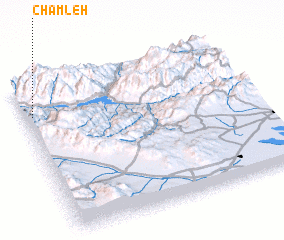 Places with similar names to Chamleh, Iran ::
Disclaimer :: Information on this page comes without warranty of any kind |
||
|
Where is Chamleh? Elevation and coordinates ::
Latitude (lat): 36°48'0"N Longitude (lon): 49°2'0"E
Elevation (approx.): 401m (map arrows pan, magnifying glasses zoom) |
||
|
Visiting Chamleh? Hotel/Accommodation ::
Book a hotel in Chamleh Travel Guide ::
Buy a travel guide for Iran rental cars ::
car rental offers GPS waypoint ::
download a GPX waypoint (PoI) of Chamleh for your GPS receiver
|
||