|
search place name
|
||
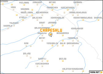
Chāpeshlū (Khorāsān, Iran)Chāpeshlū is a town in the Khorāsān region of Iran. An overview map of the region around Chāpeshlū is displayed below.
regional and 3d topo map of Chāpeshlū, Iran ::
Chāpeshlū airports ::
The nearest airport is ASB - Ashkhabad Ashgabat, located 91.6 km north west of Chāpeshlū.
Nearby towns ::
Yengī Qal‘eh (3.2km south) //
Ḩaqverdī (2.7km west) //
Bayāt (3.0km south west) //
Zarābād (3.6km south east) //
Qal‘eh-ye ‘Abbāsī (3.6km north west) //
Parkand (3.6km north west) //
Besh Darreh (3.3km east) //
Kalāteh-ye Kandī (3.5km east) //
Jānābād (4.3km north) //
Owlīā' (4.5km south east) //
Sādāt (5.0km north west) //
KohnehQal‘eh (6.4km north) //
Tappeh Līk (6.3km east) //
Qal‘echeh (7.4km north west) //
Kheytābād-e ‘Olyā (8.2km north) //
Dāghdār (6.9km south west) //
Ḩoseynābād (6.9km south east) //
Ḩasanābād (6.9km south east) //
Qareh Āghāj (6.9km south east) //
Āq Cheshmeh (8.4km north) //
Gandāb (8.8km south) //
Sūgatlī (9.1km south) //
Qozloq (9.3km south) //
Darreh Gaz (9.6km north east) //
Sangbor (9.7km north west) //
Āqdāsh (9.7km south west) //
Şeydābād (10.1km north east) //
Kalāteh-ye Moḩammad Yazdī (10.1km north east) //
Qoljoq (9.9km south west) //
[all distances 'as the bird flies' and approximate] 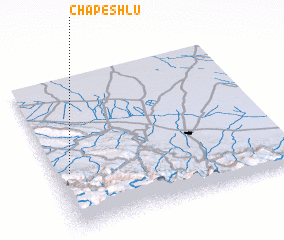 Places with similar names to Chāpeshlū, Iran ::
Disclaimer :: Information on this page comes without warranty of any kind |
||
|
Where is Chāpeshlū? Elevation and coordinates ::
Latitude (lat): 37°22'42"N Longitude (lon): 59°3'48"E
Elevation (approx.): 629m (map arrows pan, magnifying glasses zoom) |
||
|
Visiting Chāpeshlū? Hotel/Accommodation ::
Book a hotel in Chāpeshlū Travel Guide ::
Buy a travel guide for Iran rental cars ::
car rental offers GPS waypoint ::
download a GPX waypoint (PoI) of Chāpeshlū for your GPS receiver
|
||