|
search place name
|
||
Chenār Bon (Iran)Chenār Bon is a town in Iran. An overview map of the region around Chenār Bon is displayed below.
regional and 3d topo map of Chenār Bon, Iran ::
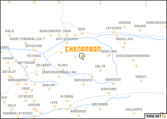
Nearby towns ::
Pīteh Now (1.7km west) //
Arẕet (2.1km north west) //
Bādeleh Darreh (2.4km north) //
Pārsā (3.2km north west) //
Alārz Būm (3.5km north west) //
Ghārlīdar (4.0km south) //
Kolyā (3.9km south east) //
Alārz (4.3km south west) //
Gat Cheshmeh (4.8km north west) //
Anderāt (4.4km west) //
Sankarūch (5.6km south) //
‘Abdollāhī (4.6km east) //
Kolkat (5.8km north) //
Dehī (6.0km north) //
Vevā (6.3km north west) //
Emāmzādeh ‘Abdollāh (5.8km south west) //
Neqārchī Maḩalleh (5.8km south west) //
Chīn Pārch (7.1km north west) //
Chīnī Pārch (7.1km north west) //
Sāmān Sar (7.6km south east) //
Bārkalā (8.0km north east) //
Lat Kūmeh (8.2km north east) //
Āghūz Darreh (8.1km north west) //
Sīāh Khānī (8.7km south east) //
Gholāmī (9.1km south west) //
[all distances 'as the bird flies' and approximate] 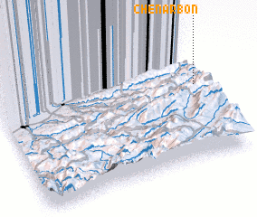 Places with similar names to Chenār Bon, Iran ::
Disclaimer :: Information on this page comes without warranty of any kind |
||
|
Where is Chenār Bon? Elevation and coordinates ::
Latitude (lat): 36°35'0"N Longitude (lon): 53°59'0"E
Elevation (approx.): 1755m (map arrows pan, magnifying glasses zoom) |
||
|
Visiting Chenār Bon? Hotel/Accommodation ::
Book a hotel in Chenār Bon Travel Guide ::
Buy a travel guide for Iran rental cars ::
car rental offers GPS waypoint ::
download a GPX waypoint (PoI) of Chenār Bon for your GPS receiver
|
||