|
search place name
|
||
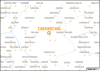
Chenār Chāl (Gīlān, Iran)Chenār Chāl is a town in the Gīlān region of Iran. An overview map of the region around Chenār Chāl is displayed below.
regional and 3d topo map of Chenār Chāl, Iran ::
Chenār Chāl airports ::
The nearest airport is RZR - Ramsar, located 30.1 km east of Chenār Chāl.
Other airports nearby include RAS - Rasht (84.6 km north west), THR - Teheran Mehrabad Intl (155.2 km south east), Nearby towns ::
Dūr Kūdasht (0.0km north) //
Kūh-e Tūkeh Sar (1.9km north) //
Galandasht Bon (1.9km south) //
Mīān Kalām (2.4km south east) //
Sī Sarā (4.7km north east) //
Asadollāh Khān (4.4km east) //
Ma‘şūmbar (5.6km north) //
Taklash (4.4km west) //
Sūteh Poshteh (4.8km north east) //
Pas Kalāsī (7.4km south) //
Kashgī Sar (6.2km west) //
Eshkar Sar (7.6km south) //
Zarkames (7.6km north) //
Parchkūh (7.0km south west) //
Vafar Sar (8.1km north west) //
Kalan Kūh (8.1km north east) //
Choshān (8.1km south west) //
[all distances 'as the bird flies' and approximate] 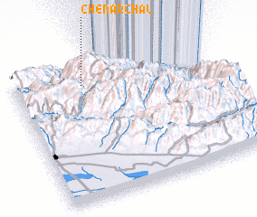 Places with similar names to Chenār Chāl, Iran :: Disclaimer :: Information on this page comes without warranty of any kind |
||
|
Where is Chenār Chāl? Elevation and coordinates ::
Latitude (lat): 36°51'0"N Longitude (lon): 50°21'0"E
Elevation (approx.): 3131m (map arrows pan, magnifying glasses zoom) |
||
|
Visiting Chenār Chāl? Hotel/Accommodation ::
Book a hotel in Chenār Chāl Travel Guide ::
Buy a travel guide for Iran rental cars ::
car rental offers GPS waypoint ::
download a GPX waypoint (PoI) of Chenār Chāl for your GPS receiver
|
||