|
search place name
|
||
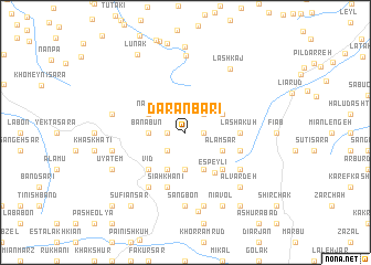
Dārānbārī (Gīlān, Iran)Dārānbārī is a town in the Gīlān region of Iran. An overview map of the region around Dārānbārī is displayed below.
regional and 3d topo map of Dārānbārī, Iran ::
Dārānbārī airports ::
The nearest airport is RAS - Rasht, located 49.3 km north west of Dārānbārī.
Other airports nearby include RZR - Ramsar (66.8 km east), THR - Teheran Mehrabad Intl (188.3 km south east), Nearby towns ::
Bīsheh Kenār (1.5km west) //
Kachal Bon (1.5km east) //
Kūt Sar (1.5km east) //
Pol Chāl (2.4km south west) //
Ẕīā' Kūh (2.4km north east) //
Banābūn (3.0km west) //
Kaleh Sarīreh (3.7km south) //
Nāshī (3.5km north west) //
Dashtān (3.5km north west) //
Tūsā Posht (3.5km north east) //
Sīāh Marsī (4.0km south) //
Katīm (3.5km south east) //
‘Alam Sar (3.5km south east) //
Bolūl (4.0km south) //
Espeylī (4.7km south east) //
Vīd (4.7km south west) //
Khān Dasht (4.7km south west) //
Sīāhkhūnī (4.7km south east) //
Lashā Kūh (4.4km east) //
Sīāhkhānī (5.8km south) //
Sīāh Āb (4.8km south east) //
Tārīk Sarā (4.8km south east) //
Sang Sarā (6.3km south west) //
Palā Gardan (5.8km south east) //
Chanbal Dasht (5.8km south east) //
Lārneh (5.8km south east) //
Now Rūz Maḩalleh (7.4km south) //
Sangbon (7.4km south) //
Gandeh Sarā (6.2km west) //
[all distances 'as the bird flies' and approximate] 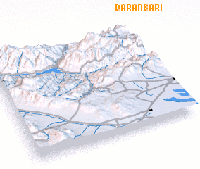 Places with similar names to Dārānbārī, Iran ::
// Turnberry (GB)
Disclaimer :: Information on this page comes without warranty of any kind |
||
|
Where is Dārānbārī? Elevation and coordinates ::
Latitude (lat): 36°58'0"N Longitude (lon): 49°56'0"E
Elevation (approx.): 1304m (map arrows pan, magnifying glasses zoom) |
||
|
Visiting Dārānbārī? Hotel/Accommodation ::
Book a hotel in Dārānbārī Travel Guide ::
Buy a travel guide for Iran rental cars ::
car rental offers GPS waypoint ::
download a GPX waypoint (PoI) of Dārānbārī for your GPS receiver
|
||