|
search place name
|
||
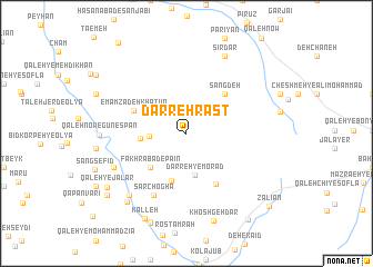
Darreh Rāst (Hamadān, Iran)Darreh Rāst is a town in the Hamadān region of Iran. An overview map of the region around Darreh Rāst is displayed below.
regional and 3d topo map of Darreh Rāst, Iran ::
Darreh Rāst airports ::
The nearest airport is KSH - Bakhtaran Shahid Ashrafi Esfahani, located 173.2 km west of Darreh Rāst.
Other airports nearby include SDG - Sanandaj (226.8 km north west), Nearby towns ::
Bayātān-e `Olyā (3.1km west) //
Darreh-ye Morād (4.2km south) //
Bayātān-e Soflá (3.9km west) //
Fakhrābād-e Pāʼīn (4.5km south west) //
Deh Tūshmāl (4.9km south) //
Sang Deh (5.1km north east) //
Emāmzādeh Khātūn (5.0km north west) //
Tappeh-ye Mowlā (5.6km south east) //
Sar Choghā (6.8km south west) //
Malakābād (6.9km south west) //
Kalān (7.8km south west) //
Sīrdar (8.3km north) //
Mūsīrābād (8.3km north) //
Qal‘eh Now-e Gūnespān (7.3km west) //
Fakhrābād-e ‘Olyā (8.4km south west) //
Khoshgeh Dar (9.1km south) //
Kalleh (9.3km south) //
Qal‘eh-ye Jalār (8.5km south west) //
Latestān (9.0km south west) //
Do Joft (10.0km south east) //
Zālīān (10.0km south east) //
[all distances 'as the bird flies' and approximate] 
Disclaimer :: Information on this page comes without warranty of any kind |
||
|
Where is Darreh Rāst? Elevation and coordinates ::
Latitude (lat): 34°1'50"N Longitude (lon): 48°59'56"E
Elevation (approx.): 2192m (map arrows pan, magnifying glasses zoom) |
||
|
Visiting Darreh Rāst? Hotel/Accommodation ::
Book a hotel in Darreh Rāst Travel Guide ::
Buy a travel guide for Iran rental cars ::
car rental offers GPS waypoint ::
download a GPX waypoint (PoI) of Darreh Rāst for your GPS receiver
|
||