|
search place name
|
||
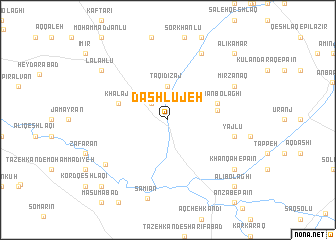
Dāshlūjeh (Iran)Dāshlūjeh is a town in Iran. An overview map of the region around Dāshlūjeh is displayed below.
regional and 3d topo map of Dāshlūjeh, Iran ::
Dāshlūjeh airports ::
The nearest airport is RAS - Rasht, located 171.6 km south east of Dāshlūjeh.
Nearby towns ::
Bāyrām Badan (2.4km north west) //
Nagdīzsī (3.7km north) //
Taqī Dīzaj (3.7km north) //
Lūrūn (4.5km east) //
Dūshān Bolāghī (4.7km north east) //
Khalaj (4.7km north west) //
Yājlū (6.1km east) //
Mīrzānaq (6.9km north east) //
Qelench Qeshlāq (8.0km north) //
Ūchbolāgh (8.0km north) //
Ţāleb Qeshlāqī (7.4km south west) //
Sāmīān (8.9km south) //
Khānqāh-e Pā'īn (8.0km south east) //
Yeznābād (8.0km south east) //
Lalahlū (8.0km north west) //
‘Alī Kamar (9.4km north east) //
‘Alī Bolāghī (9.4km south east) //
Ḩayehdār (9.4km south west) //
[all distances 'as the bird flies' and approximate] 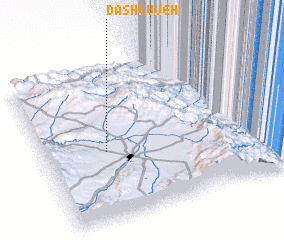
Disclaimer :: Information on this page comes without warranty of any kind |
||
|
Where is Dāshlūjeh? Elevation and coordinates ::
Latitude (lat): 38°27'0"N Longitude (lon): 48°16'0"E
Elevation (approx.): 1375m (map arrows pan, magnifying glasses zoom) |
||
|
Visiting Dāshlūjeh? Hotel/Accommodation ::
Book a hotel in Dāshlūjeh Travel Guide ::
Buy a travel guide for Iran rental cars ::
car rental offers GPS waypoint ::
download a GPX waypoint (PoI) of Dāshlūjeh for your GPS receiver
|
||