|
search place name
|
||
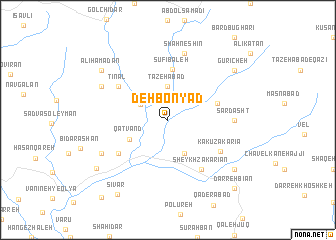
Deh Bonyād (Kordestān, Iran)Deh Bonyād is a town in the Kordestān region of Iran. An overview map of the region around Deh Bonyād is displayed below.
regional and 3d topo map of Deh Bonyād, Iran ::
Deh Bonyād airports ::
The nearest airport is SDG - Sanandaj, located 52.6 km south east of Deh Bonyād.
Other airports nearby include KSH - Bakhtaran Shahid Ashrafi Esfahani (145.3 km south), Nearby towns ::
Mīdūl (3.0km north west) //
Tāzehābād (3.7km north) //
Jānevarān (4.0km south) //
Qaţvand (4.1km south west) //
Şūfī Baleh (5.7km north) //
Darhard (4.9km east) //
Tīnāl (5.8km north west) //
Bahārābād (5.8km south west) //
Sheykh Z̄akarīan (6.3km south east) //
Kākū Zakarīā (5.9km south east) //
Sardasht (6.0km east) //
Shāhneshīn (7.6km north) //
Ālīhamdān (7.1km north west) //
Sheykh Sharbatī (7.1km south west) //
‘Alī Hamadān (8.2km north west) //
Āsīāb (8.2km south east) //
Gūrīcheh (8.2km north east) //
Jalīleh (8.5km south west) //
Sīvar (9.6km south west) //
Darreh Bīān (9.8km south east) //
Bābā (10.5km south west) //
[all distances 'as the bird flies' and approximate] 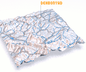 Places with similar names to Deh Bonyād, Iran ::
// Dobinyetaw (GH)
Disclaimer :: Information on this page comes without warranty of any kind |
||
|
Where is Deh Bonyād? Elevation and coordinates ::
Latitude (lat): 35°34'0"N Longitude (lon): 46°35'0"E
Elevation (approx.): 1686m (map arrows pan, magnifying glasses zoom) |
||
|
Visiting Deh Bonyād? Hotel/Accommodation ::
Book a hotel in Deh Bonyād Travel Guide ::
Buy a travel guide for Iran rental cars ::
car rental offers GPS waypoint ::
download a GPX waypoint (PoI) of Deh Bonyād for your GPS receiver
|
||