|
search place name
|
||
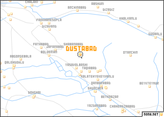
Dūstābād (Khorāsān, Iran)Dūstābād is a town in the Khorāsān region of Iran. An overview map of the region around Dūstābād is displayed below.
regional and 3d topo map of Dūstābād, Iran ::
Dūstābād airports ::
The nearest airport is ASB - Ashkhabad Ashgabat, located 113.8 km north of Dūstābād.
Nearby towns ::
Qareh Jeqqeh (1.8km north) //
Yasāvolbāshī (2.4km south west) //
Kheyrābād (3.0km south) //
Sha‘bānābād (2.9km north west) //
Taqīābād (3.3km south east) //
Taqīābād (3.4km south east) //
Ālmajeq (3.8km south) //
Dāvūdlī (3.5km north west) //
Kalāteh-ye Ḩājjī ‘Alī (4.2km south east) //
Yasāqī (4.2km south east) //
Mīsāqī (4.4km south east) //
Kalāteh-ye Keyvānlū (5.7km south east) //
Ja‘farābād (5.2km west) //
Bolverīān (6.0km west) //
Bolverīān (6.0km west) //
Qanbarābād (7.3km south east) //
Mīrābād (8.0km south) //
Shūrcheh (8.0km south) //
Ḩasanābād (8.0km south east) //
Ḩasanābād (8.1km south east) //
Dīzāvand (8.8km north west) //
Kalāteh-ye Ḩājjī Barāt (10.0km north west) //
Farkhān-e Soflá (10.0km north west) //
[all distances 'as the bird flies' and approximate] 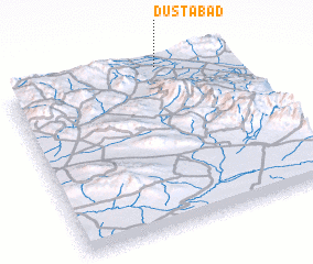 Places with similar names to Dūstābād, Iran ::
Disclaimer :: Information on this page comes without warranty of any kind |
||
|
Where is Dūstābād? Elevation and coordinates ::
Latitude (lat): 36°59'39"N Longitude (lon): 58°41'1"E
Elevation (approx.): 1356m (map arrows pan, magnifying glasses zoom) |
||
|
Visiting Dūstābād? Hotel/Accommodation ::
Book a hotel in Dūstābād Travel Guide ::
Buy a travel guide for Iran rental cars ::
car rental offers GPS waypoint ::
download a GPX waypoint (PoI) of Dūstābād for your GPS receiver
|
||