|
search place name
|
||
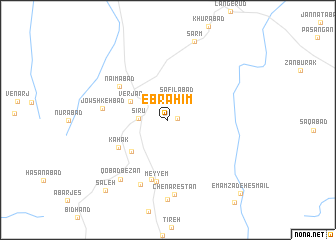
Ebrāhīm (Iran)Ebrāhīm is a town in Iran. An overview map of the region around Ebrāhīm is displayed below.
regional and 3d topo map of Ebrāhīm, Iran ::
Ebrāhīm airports ::
The nearest airport is THR - Teheran Mehrabad Intl, located 145.7 km north of Ebrāhīm.
Nearby towns ::
Ḩeşār Molā (0.9km east) //
Safīlābād (2.6km north) //
Sīrū (2.7km west) //
Verjān (4.0km north west) //
Nowfel Low Shātow (4.9km south west) //
Kahak (5.5km south west) //
Na‘īmābād (5.8km north west) //
Ḩoseynābād (6.8km south) //
Meyyem (6.9km south) //
Jowshkeh Bād (6.2km west) //
Qolbīrī (7.7km south) //
Chenārestān (8.4km south) //
Qobādbezan (8.0km south west) //
Dastgerd (8.9km south) //
Şarm (9.0km north) //
Saleḩ (9.8km south west) //
Emāmzādeh Esmā‘īl (10.6km south east) //
[all distances 'as the bird flies' and approximate] 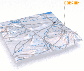 Places with similar names to Ebrāhīm, Iran ::
Disclaimer :: Information on this page comes without warranty of any kind |
||
|
Where is Ebrāhīm? Elevation and coordinates ::
Latitude (lat): 34°25'0"N Longitude (lon): 50°55'0"E
Elevation (approx.): 1295m (map arrows pan, magnifying glasses zoom) |
||
|
Visiting Ebrāhīm? Hotel/Accommodation ::
Book a hotel in Ebrāhīm Travel Guide ::
Buy a travel guide for Iran rental cars ::
car rental offers GPS waypoint ::
download a GPX waypoint (PoI) of Ebrāhīm for your GPS receiver
|
||