|
search place name
|
||
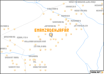
Emāmzādeh Ja‘far (Iran)Emāmzādeh Ja‘far is a town in Iran. An overview map of the region around Emāmzādeh Ja‘far is displayed below.
regional and 3d topo map of Emāmzādeh Ja‘far, Iran ::
Nearby towns ::
Moḩammadābād (0.9km south east) //
Dehū (0.9km south west) //
Moḩammadābād (1.4km south east) //
Ebrāhīmābād (2.2km north west) //
Verkīān (2.8km north) //
Ja‘farābād (2.9km north) //
Bahāābād (2.7km south east) //
Ghanīābād (3.0km north east) //
‘Abdīā (3.4km south) //
Zargarābād (3.0km east) //
Bāqerābād (3.5km west) //
Nez̧āmābād (3.6km west) //
Moḩammadīyeh (4.6km south) //
‘Abīrābād (4.1km north east) //
Ḩoseynābād (3.9km west) //
Shamsābād (4.7km north east) //
Tavvakolābād (4.9km south west) //
Shāmān (4.2km east) //
Naşrābād (4.2km east) //
‘Abbāsābād (5.3km north east) //
Z̄eylābād (5.7km south west) //
Zeynālābād (5.7km south west) //
Kelā (5.8km south west) //
Qal‘eh-ye Āqā Bābā (6.5km north) //
Ḩājjīābād-e Mūsavīān (5.5km south west) //
‘Alīābād (6.2km north east) //
Amīnābād (5.7km east) //
Berom Qal‘eh-ye Bālā (7.5km north east) //
Mehdīābād (7.2km north east) //
[all distances 'as the bird flies' and approximate] 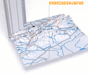 Places with similar names to Emāmzādeh Ja‘far, Iran ::
Disclaimer :: Information on this page comes without warranty of any kind |
||
|
Where is Emāmzādeh Ja‘far? Elevation and coordinates ::
Latitude (lat): 36°5'27"N Longitude (lon): 54°22'17"E
Elevation (approx.): 1084m (map arrows pan, magnifying glasses zoom) |
||
|
Visiting Emāmzādeh Ja‘far? Hotel/Accommodation ::
Book a hotel in Emāmzādeh Ja‘far Travel Guide ::
Buy a travel guide for Iran rental cars ::
car rental offers GPS waypoint ::
download a GPX waypoint (PoI) of Emāmzādeh Ja‘far for your GPS receiver
|
||