|
search place name
|
||
Esfang (Yazd, Iran)Esfang is a town in the Yazd region of Iran. An overview map of the region around Esfang is displayed below.
regional and 3d topo map of Esfang, Iran ::

Esfang airports ::
The nearest airport is AZD - Yazd Shahid Sadooghi, located 153.2 km west of Esfang.
Other airports nearby include KER - Kerman (204.4 km south east), Nearby towns ::
Fallāḩābād-e Bālā (2.4km south east) //
Māzerīn (3.3km south) //
Parkūshk (3.3km south) //
Raẕavīyeh (3.0km south west) //
Fallāḩābād-e Pāʼīn (3.8km east) //
Deh ‘Arūs (4.3km north east) //
Bāgh-e Bālā (5.1km south) //
Naden-e Pāʼīn (5.7km south west) //
Ezbangū'īyeh (6.8km south) //
Dorond (6.8km south) //
Khāreng (6.8km south) //
Gāshkū'īyeh (7.1km south) //
Raḩmatābād (7.1km south) //
Naden-e Bālā (7.3km south) //
Dorūzjang (7.7km south east) //
Darb-e Hanz (7.2km east) //
Kavīrū Deh Bārū (7.7km south west) //
Deh Zardeh (7.7km south west) //
Bīdarābād (7.7km south west) //
Shomālābād (7.7km south west) //
Neyzār (7.4km south east) //
Bamūʼīyeh (7.4km south east) //
Būʼīābād (7.5km west) //
Park (7.6km west) //
Sūreh Dorūzjang (8.9km south) //
Kahnū'īyeh (9.1km south) //
Raḩmatābād (8.4km south east) //
Deh Ţūţī (9.0km south west) //
Sanjak (8.9km south west) //
[all distances 'as the bird flies' and approximate] 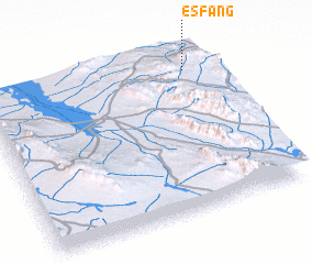 Places with similar names to Esfang, Iran :: Disclaimer :: Information on this page comes without warranty of any kind |
||
|
Where is Esfang? Elevation and coordinates ::
Latitude (lat): 31°52'41"N Longitude (lon): 55°53'43"E
Elevation (approx.): 1680m (map arrows pan, magnifying glasses zoom) |
||
|
Visiting Esfang? Hotel/Accommodation ::
Book a hotel in Esfang Travel Guide ::
Buy a travel guide for Iran rental cars ::
car rental offers GPS waypoint ::
download a GPX waypoint (PoI) of Esfang for your GPS receiver
|
||