|
search place name
|
||
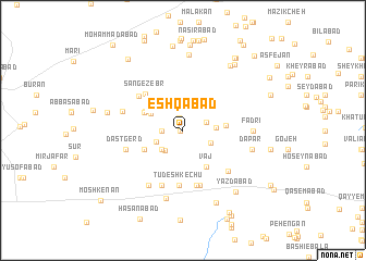
‘Eshqābād (Eşfahān, Iran)‘Eshqābād is a town in the Eşfahān region of Iran. An overview map of the region around ‘Eshqābād is displayed below.
regional and 3d topo map of ‘Eshqābād, Iran ::
‘Eshqābād airports ::
The nearest airport is AZD - Yazd Shahid Sadooghi, located 178.6 km south east of ‘Eshqābād.
Nearby towns ::
Kheyrābād (0.3km west) //
Nūrollāh (0.3km west) //
Dowlatābād (1.4km north) //
Chandābeh (1.8km west) //
Borzābād (1.8km west) //
Mehrābād (2.2km north east) //
Jondābeh (2.6km south west) //
Moḩammad Bāshī (2.6km south west) //
Key (2.6km south west) //
Shāhābād (2.7km south east) //
Qāsem ‘Alī (2.8km east) //
Shīrābād (3.2km north west) //
Ḩabībollāh (3.8km north west) //
Qāsemābād (3.8km north west) //
Dast Gerdū (3.7km east) //
Khānābād (3.9km south west) //
Bād Afshān (4.3km south east) //
Vaj (4.3km south east) //
Sang-e Zebr (5.0km north west) //
Tūdeshkechū (5.7km south) //
Ḩeydarābād (5.2km north west) //
Rejān (5.7km south) //
Angerūd (5.8km south) //
Moḩammadābād (5.9km south) //
Dastgerd (5.3km west) //
Arvajeh (5.7km south east) //
Chegāygūn (5.6km west) //
Moḩammadābād (6.4km south west) //
Tūdeshk (7.1km south) //
[all distances 'as the bird flies' and approximate] 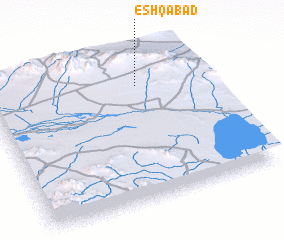 Places with similar names to ‘Eshqābād, Iran ::
Disclaimer :: Information on this page comes without warranty of any kind |
||
|
Where is ‘Eshqābād? Elevation and coordinates ::
Latitude (lat): 32°47'2"N Longitude (lon): 52°41'10"E
Elevation (approx.): 2250m (map arrows pan, magnifying glasses zoom) |
||
|
Visiting ‘Eshqābād? Hotel/Accommodation ::
Book a hotel in ‘Eshqābād Travel Guide ::
Buy a travel guide for Iran rental cars ::
car rental offers GPS waypoint ::
download a GPX waypoint (PoI) of ‘Eshqābād for your GPS receiver
|
||