|
search place name
|
||
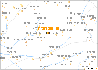
Eshtākhūn (Khorāsān, Iran)Eshtākhūn is a town in the Khorāsān region of Iran. An overview map of the region around Eshtākhūn is displayed below.
regional and 3d topo map of Eshtākhūn, Iran ::
Eshtākhūn airports ::
The nearest airport is XBJ - Birjand, located 30.7 km west of Eshtākhūn.
Nearby towns ::
Māfandāb (1.5km north) //
Zangī (2.2km east) //
Estakhr (2.9km west) //
Gajindri (3.1km south west) //
Ārbīj (3.6km north west) //
Elqār (3.9km north west) //
Qāsemābād (3.9km north west) //
Feyẕābād (4.0km west) //
Roqīyehābād (4.6km north west) //
Abījān (4.4km east) //
Kalāteh-ye Allāhyār (4.5km east) //
Khūrī (4.9km east) //
Ţanāk-e Bālā (5.8km south) //
‘Abdollāh (6.1km north west) //
Ţanāk-e Pā'īn (7.0km south) //
Esfazār (6.7km south east) //
Kūch (6.6km west) //
Kalāteh-ye Zangaz (7.0km east) //
Ebrāhīmābād (8.4km south) //
Kamrūd (8.4km north west) //
Khūshīneh-ye Bālā (8.0km north west) //
Kalāteh-ye Moḩammad Solţān (7.9km west) //
Khusīn (8.0km north west) //
Kalāteh-ye Masalatun (8.1km south west) //
Khūnīk (8.8km north east) //
Moḩammadābād (10.1km south east) //
Fīzīk (10.3km north east) //
[all distances 'as the bird flies' and approximate] 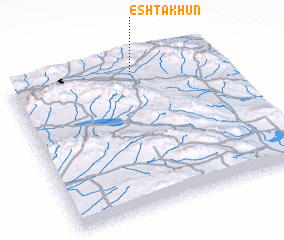 Places with similar names to Eshtākhūn, Iran :: Disclaimer :: Information on this page comes without warranty of any kind |
||
|
Where is Eshtākhūn? Elevation and coordinates ::
Latitude (lat): 32°55'1"N Longitude (lon): 59°35'36"E
Elevation (approx.): 2064m (map arrows pan, magnifying glasses zoom) |
||
|
Visiting Eshtākhūn? Hotel/Accommodation ::
Book a hotel in Eshtākhūn Travel Guide ::
Buy a travel guide for Iran rental cars ::
car rental offers GPS waypoint ::
download a GPX waypoint (PoI) of Eshtākhūn for your GPS receiver
|
||