|
search place name
|
||
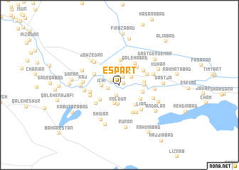
Espārt (Eşfahān, Iran)Espārt is a town in the Eşfahān region of Iran. An overview map of the region around Espārt is displayed below.
regional and 3d topo map of Espārt, Iran ::
Nearby towns ::
Gonjevān (0.6km east) //
Vajjāreh (1.3km north) //
Dūlāb (1.3km north west) //
Bācheh (1.7km north) //
‘Abbāsābād (1.7km south) //
Karchegān (1.6km west) //
Yaḩyáābād (2.0km north east) //
Mīshān (2.5km north west) //
Īchī (2.4km west) //
Nānzā (3.0km north) //
Hermedān (3.0km south) //
Koldūn (3.0km south) //
Şabrdārān (3.4km south west) //
Ozvār (3.3km east) //
Eram Posht (3.7km north east) //
Dīderān (3.3km east) //
Ḩoseynābād (3.9km north) //
Ābād-e Soleymān (3.7km north east) //
Kārevānchī (3.3km east) //
Borkān (3.5km south east) //
Pīleh Varān (3.8km south east) //
Qal'ehābād (4.0km north east) //
Shavardez (3.7km north west) //
Ḩājjīābād (3.9km north east) //
Zaghmār (4.2km south west) //
Jājā (4.1km north east) //
Yafrān (4.0km west) //
Karveh (4.7km south east) //
Jār (4.2km south west) //
[all distances 'as the bird flies' and approximate] 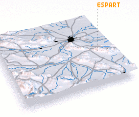 Places with similar names to Espārt, Iran ::
Disclaimer :: Information on this page comes without warranty of any kind |
||
|
Where is Espārt? Elevation and coordinates ::
Latitude (lat): 32°32'6"N Longitude (lon): 51°53'8"E
Elevation (approx.): 1536m (map arrows pan, magnifying glasses zoom) |
||
|
Visiting Espārt? Hotel/Accommodation ::
Book a hotel in Espārt Travel Guide ::
Buy a travel guide for Iran rental cars ::
car rental offers GPS waypoint ::
download a GPX waypoint (PoI) of Espārt for your GPS receiver
|
||