|
search place name
|
||
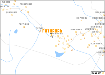
Fatḩābād (Kermān, Iran)Fatḩābād is a town in the Kermān region of Iran. An overview map of the region around Fatḩābād is displayed below.
regional and 3d topo map of Fatḩābād, Iran ::
Fatḩābād airports ::
The nearest airport is KER - Kerman, located 111.6 km east of Fatḩābād.
Other airports nearby include AZD - Yazd Shahid Sadooghi (217.9 km north west), Nearby towns ::
Ḩoseynābād-e Solţānī (1.7km north) //
Raḩīmābād (1.8km east) //
Yūsefābād (2.4km south east) //
Hemmatābād (2.4km east) //
Kows̄arrīz (2.9km south east) //
‘Abbāsābād-e Mo‘īn (3.3km south) //
Morteẕáābād (3.3km east) //
Şafīābād (3.7km east) //
Kāz̧emābād (3.9km south east) //
Seryāl (4.5km north west) //
Hormozābād (4.5km east) //
Taqīābād (4.9km south east) //
Maḩmūdīyeh (4.7km east) //
Shahrābād (5.2km south east) //
Dehnābād (5.1km east) //
Najafābād (5.7km south east) //
Ḩasanābād (5.8km south east) //
Dowlatābād (5.9km south east) //
Qodratābād (5.8km east) //
Rostamābād-e Harandī (6.5km south east) //
Nūshābād (6.3km south east) //
Jannatābād (7.4km south east) //
‘Eşratābād (7.4km east) //
Fakhrābād (7.5km east) //
Malekābād (7.6km east) //
[all distances 'as the bird flies' and approximate] 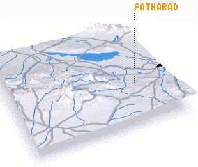 Places with similar names to Fatḩābād, Iran ::
Disclaimer :: Information on this page comes without warranty of any kind |
||
|
Where is Fatḩābād? Elevation and coordinates ::
Latitude (lat): 30°26'43"N Longitude (lon): 55°48'25"E
Elevation (approx.): 1454m (map arrows pan, magnifying glasses zoom) |
||
|
Visiting Fatḩābād? Hotel/Accommodation ::
Book a hotel in Fatḩābād Travel Guide ::
Buy a travel guide for Iran rental cars ::
car rental offers GPS waypoint ::
download a GPX waypoint (PoI) of Fatḩābād for your GPS receiver
|
||