|
search place name
|
||
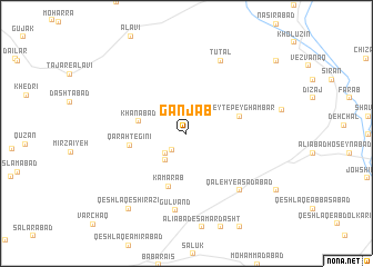
Ganj Āb (Iran)Ganj Āb is a town in Iran. An overview map of the region around Ganj Āb is displayed below.
regional and 3d topo map of Ganj Āb, Iran ::
Ganj Āb airports ::
The nearest airport is KSH - Bakhtaran Shahid Ashrafi Esfahani, located 168.4 km west of Ganj Āb.
Other airports nearby include SDG - Sanandaj (201.1 km north west), Nearby towns ::
Qajar Āb-e Soflá (2.1km south west) //
Qajar Āb-e Bālā (2.7km south west) //
Qajar Āb-e ‘Olyā (3.2km south west) //
Khānābād (4.1km west) //
Sheyt-e Peyghambar (4.7km east) //
Kamar Āb (5.5km south) //
Qarah Tegīnī (4.8km west) //
Qal‘eh-ye As‘adābād (7.2km south east) //
Gūlvand (7.8km south) //
Tūtal (7.8km north) //
Qeshlāq-e Shīrāzī (9.0km south west) //
[all distances 'as the bird flies' and approximate] 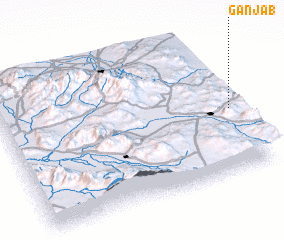 Places with similar names to Ganj Āb, Iran ::
// Gane Geb (ET)
// Kingébé (CG)
// Kingibi (CG)
// Canjob (MX)
// Kingebe (ZM)
// Ganjāb (IR)
// Kona Jabe (NG)
// Kinjibi (PG)
// Kʼena Gebī (ET)
// Canh Giao (1) (VN)
Disclaimer :: Information on this page comes without warranty of any kind |
||
|
Where is Ganj Āb? Elevation and coordinates ::
Latitude (lat): 34°27'5"N Longitude (lon): 48°59'8"E
Elevation (approx.): 1814m (map arrows pan, magnifying glasses zoom) |
||
|
Visiting Ganj Āb? Hotel/Accommodation ::
Book a hotel in Ganj Āb Travel Guide ::
Buy a travel guide for Iran rental cars ::
car rental offers GPS waypoint ::
download a GPX waypoint (PoI) of Ganj Āb for your GPS receiver
|
||