|
search place name
|
||
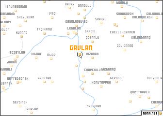
Gavlān (Ardabīl, Iran)Gavlān is a town in the Ardabīl region of Iran. An overview map of the region around Gavlān is displayed below.
regional and 3d topo map of Gavlān, Iran ::
Gavlān airports ::
The nearest airport is TBZ - Tabriz Intl, located 133.4 km south west of Gavlān.
Nearby towns ::
Tāzeh Kand-e Yāft (2.0km north) //
Delqanāb (2.0km south west) //
Vīzanāb (2.0km east) //
Tāzeh Kand (2.5km north) //
Qareh Qāqeshlī (4.2km south) //
Charchīlū (4.2km south east) //
Qotānlū (4.2km north east) //
Qarah Āghāj (5.6km south) //
Sargīv (5.5km north) //
Gonbadān (5.7km north) //
Leghlān (6.1km north) //
Kalvarī (6.1km north west) //
Īnjār (5.4km west) //
Kanchūbeh (7.1km south) //
Dīkdaraq (6.1km south east) //
Qeshlāq-e Vīeq (7.5km north) //
Kord Tappeh (7.4km south east) //
Melkhāş (7.6km south west) //
Shāh ‘Ālī (8.9km north east) //
Gerdgol (8.4km south east) //
Pashtāb (8.7km south west) //
Taqī Kandī (8.7km north west) //
Noqadī (8.7km north west) //
Shaghlān (9.8km north east) //
Zīveh (9.8km north east) //
[all distances 'as the bird flies' and approximate] 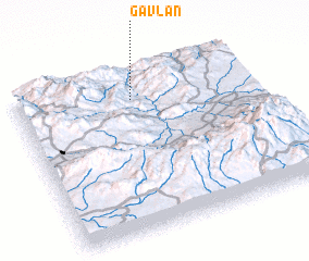 Places with similar names to Gavlān, Iran ::
Disclaimer :: Information on this page comes without warranty of any kind |
||
|
Where is Gavlān? Elevation and coordinates ::
Latitude (lat): 38°48'59"N Longitude (lon): 47°29'38"E
Elevation (approx.): 580m (map arrows pan, magnifying glasses zoom) |
||
|
Visiting Gavlān? Hotel/Accommodation ::
Book a hotel in Gavlān Travel Guide ::
Buy a travel guide for Iran rental cars ::
car rental offers GPS waypoint ::
download a GPX waypoint (PoI) of Gavlān for your GPS receiver
|
||