|
search place name
|
||
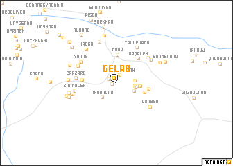
Gelāb (Kermān, Iran)Gelāb is a town in the Kermān region of Iran. An overview map of the region around Gelāb is displayed below.
regional and 3d topo map of Gelāb, Iran ::
Gelāb airports ::
The nearest airport is KER - Kerman, located 145.0 km east of Gelāb.
Other airports nearby include AZD - Yazd Shahid Sadooghi (217.0 km north west), Nearby towns ::
Kūh Khūnī (0.7km south west) //
Sīlū'īyeh (1.1km north west) //
Kūy-e Lāy-e Rāh (1.3km north east) //
Kamar Dehnow (2.6km east) //
Deh-e Bālā (2.7km east) //
Anjīrū (2.8km south east) //
Pīshkūh (2.8km east) //
Ahrāndar (3.1km south west) //
Chenār (2.9km east) //
Dehneh (3.4km east) //
Marj (4.5km north) //
Senjenū (4.3km east) //
Pāqal‘eh (5.0km north east) //
Cheshmeh Sefīd (4.6km east) //
Posht Korom (4.7km west) //
Zarzard (5.6km west) //
Bāb Ḩayyeh (6.0km north east) //
Tall-e Jang (6.4km north east) //
Yūrās (6.0km north west) //
Tīlā (5.9km north west) //
Donbeh (6.1km south east) //
Donbeh-ye Pā'īn (6.1km south east) //
Kīsheh (6.1km north east) //
Zarmalek (5.9km west) //
Kūh-e Qalāt Kūchek (7.0km north) //
Kadgū (6.8km north west) //
Moreng (6.4km west) //
Lākhowngeh (6.8km north east) //
Meymand (6.7km west) //
[all distances 'as the bird flies' and approximate] 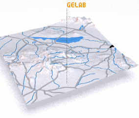 Places with similar names to Gelāb, Iran ::
Disclaimer :: Information on this page comes without warranty of any kind |
||
|
Where is Gelāb? Elevation and coordinates ::
Latitude (lat): 30°13'36"N Longitude (lon): 55°26'44"E
Elevation (approx.): 2320m (map arrows pan, magnifying glasses zoom) |
||
|
Visiting Gelāb? Hotel/Accommodation ::
Book a hotel in Gelāb Travel Guide ::
Buy a travel guide for Iran rental cars ::
car rental offers GPS waypoint ::
download a GPX waypoint (PoI) of Gelāb for your GPS receiver
|
||