|
search place name
|
||
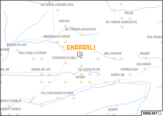
Ghāpānlī (Iran)Ghāpānlī is a town in Iran. An overview map of the region around Ghāpānlī is displayed below.
regional and 3d topo map of Ghāpānlī, Iran ::
Nearby towns ::
‘Arab Lāleh Gūn (1.9km south) //
Bīshak Tappeh (1.9km south) //
Beshīk Tapeh (1.9km south) //
Komorlī (2.9km east) //
Kamakhlū (3.7km south) //
Cheshmeh-ye Ālī (3.2km west) //
Yelkhī Sūrlan (4.0km south) //
Kandīrī (4.0km south) //
Qamakhlī (4.0km south) //
Qarnāveh-ye Bālā (4.4km north west) //
Chenārlī (4.7km north west) //
Dūnqozlī (4.7km south east) //
Āltī Āghāj-e Kūchak (5.6km north) //
Kesan (5.6km south) //
Khānegeh (5.6km north) //
Qareh Āqāshlī (5.8km south) //
Bīātlar (5.8km south) //
Qūlāq Gasan (6.3km south west) //
Qarnāveh-ye Pā'īn (5.8km north west) //
Valī-ye Pā'īn (5.9km east) //
Pūlī-ye Pā'īn (5.9km east) //
Dāshlī Ārqāch (7.1km south east) //
Kachīk (8.0km north) //
Būqājeh (6.9km south west) //
Āqcheh Āghāchlī (8.1km south east) //
Qūsheh Sū (8.1km south west) //
Sharloq (8.5km south east) //
[all distances 'as the bird flies' and approximate] 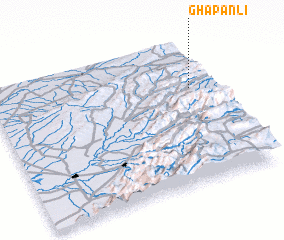 Places with similar names to Ghāpānlī, Iran :: Disclaimer :: Information on this page comes without warranty of any kind |
||
|
Where is Ghāpānlī? Elevation and coordinates ::
Latitude (lat): 37°40'0"N Longitude (lon): 55°54'0"E
Elevation (approx.): 947m (map arrows pan, magnifying glasses zoom) |
||
|
Visiting Ghāpānlī? Hotel/Accommodation ::
Book a hotel in Ghāpānlī Travel Guide ::
Buy a travel guide for Iran rental cars ::
car rental offers GPS waypoint ::
download a GPX waypoint (PoI) of Ghāpānlī for your GPS receiver
|
||