|
search place name
|
||
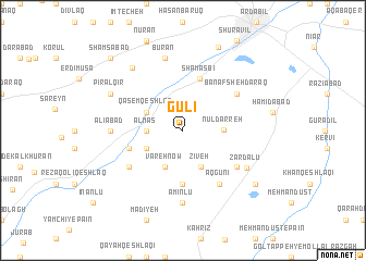
Gūlī (Iran)Gūlī is a town in Iran. An overview map of the region around Gūlī is displayed below.
regional and 3d topo map of Gūlī, Iran ::
Gūlī airports ::
The nearest airport is RAS - Rasht, located 151.7 km south east of Gūlī.
Other airports nearby include TBZ - Tabriz Intl (175.2 km west), Nearby towns ::
Almās (2.9km west) //
Nūl Darreh (3.3km east) //
Vareh Now (4.0km south) //
Qāsem Qeshlāq (3.5km north west) //
Zīveh (4.0km south) //
Āq Kalmeh (3.5km south west) //
Qelīmp (4.0km south) //
Shām Asbī (5.4km north) //
Qelīchī (5.6km south) //
Ḩakīm Qeshlāqī (4.7km south west) //
Rowshanaq (5.7km south west) //
Āq Daraq (5.7km south east) //
Banafsheh Daraq (5.7km north east) //
Āq Gūnī (6.3km south east) //
‘Alīābād (5.8km west) //
Amīnlū (7.4km south) //
Zardālū (6.5km south east) //
Būrān (7.6km north) //
Askī Shahr (7.6km north west) //
Pīrāl Qīr (6.9km north west) //
Mollā Aḩmad (8.1km south east) //
Mollā Bāshī (9.0km north) //
Shamsābād (9.4km north west) //
Andar Āb (9.4km north west) //
[all distances 'as the bird flies' and approximate] 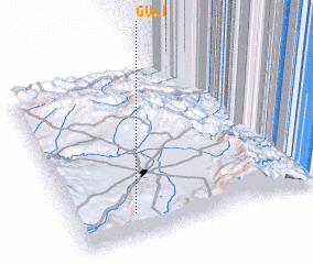 Places with similar names to Gūlī, Iran ::
Disclaimer :: Information on this page comes without warranty of any kind |
||
|
Where is Gūlī? Elevation and coordinates ::
Latitude (lat): 38°9'0"N Longitude (lon): 48°14'0"E
Elevation (approx.): 1636m (map arrows pan, magnifying glasses zoom) |
||
|
Visiting Gūlī? Hotel/Accommodation ::
Book a hotel in Gūlī Travel Guide ::
Buy a travel guide for Iran rental cars ::
car rental offers GPS waypoint ::
download a GPX waypoint (PoI) of Gūlī for your GPS receiver
|
||