|
search place name
|
||
Hādīābād (Khorāsān, Iran)Hādīābād is a town in the Khorāsān region of Iran. An overview map of the region around Hādīābād is displayed below.
regional and 3d topo map of Hādīābād, Iran ::
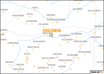
Nearby towns ::
Bāghcheh (1.4km west) //
Ḩasan ‘Alīābād (3.7km south east) //
Jahānābād (3.6km east) //
Molkābād (4.5km north west) //
Dāshkhāneh (4.5km south west) //
Amānābād (5.3km north) //
Owlang-e Amānābād (5.6km north) //
Elang (5.7km north) //
Allāhābād (4.9km east) //
Kolāh Bakhsh (5.1km east) //
Taqīābād (7.0km north) //
Kārīs Meh (7.2km south) //
Gol Mey-e Pā'īn (7.6km south) //
‘Abdolmajīd (7.1km south west) //
Gol Mey-e Bālā (8.6km south) //
Z̄ekrābād (7.1km east) //
Ţālebābād (7.1km east) //
Naz̧arābād (7.6km north west) //
Ja‘farābād (9.5km south east) //
Estāj (9.9km north west) //
Bardūd (10.4km south east) //
Qareh Kapanak (10.4km south west) //
[all distances 'as the bird flies' and approximate] 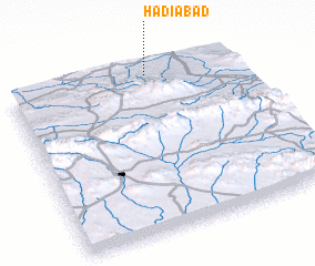 Places with similar names to Hādīābād, Iran ::
// White Bead (US)
// Whitebead (US)
// White Butte (US)
// Hatobato (TP)
// Hatobuti (TP)
// Ḩaddābād (IR)
// Hādīābād (IR)
// Hādīābād (IR)
// Hādīābād (IR)
// Hādīābād (IR)
Disclaimer :: Information on this page comes without warranty of any kind |
||
|
Where is Hādīābād? Elevation and coordinates ::
Latitude (lat): 35°58'0"N Longitude (lon): 59°37'0"E
Elevation (approx.): 1239m (map arrows pan, magnifying glasses zoom) |
||
|
Visiting Hādīābād? Hotel/Accommodation ::
Book a hotel in Hādīābād Travel Guide ::
Buy a travel guide for Iran rental cars ::
car rental offers GPS waypoint ::
download a GPX waypoint (PoI) of Hādīābād for your GPS receiver
|
||