|
search place name
|
||
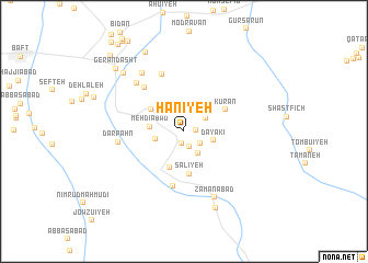
Ḩanīyeh (Kermān, Iran)Ḩanīyeh is a town in the Kermān region of Iran. An overview map of the region around Ḩanīyeh is displayed below.
regional and 3d topo map of Ḩanīyeh, Iran ::
Ḩanīyeh airports ::
The nearest airport is KER - Kerman, located 124.4 km north of Ḩanīyeh.
Other airports nearby include BND - Bandar Abbass Intl (219.0 km south), Nearby towns ::
Qal‘eh Nowzeh (1.0km east) //
Sarkavārān (1.2km south) //
Sharīkābād (1.6km south) //
Zarkān (1.9km south east) //
Qanāt Bench (2.4km north east) //
Gomtū'īyeh (2.6km south east) //
Aḩmadābād (2.6km west) //
Dayākī (2.8km east) //
Mehdīābād (3.1km west) //
Anjīrak (3.6km north west) //
Nowzād (4.0km south) //
Sālīyeh (4.3km south) //
Kūrān (4.3km north east) //
Meygosārān (5.6km south) //
Bedū'īyeh (5.7km north west) //
Deh-e Sheykhān (6.2km north) //
Dar Pahn (6.0km west) //
Deh Ganjī (6.5km north west) //
Āren-e Bālā (6.9km north west) //
Zamānābād (7.3km south) //
Boland Chātī (8.3km south) //
Āren-e Pā'īn (8.0km north west) //
Chenārān (8.7km north west) //
Gerāndasht (8.8km north west) //
Agharkū'īyeh (10.1km north west) //
Bezenjān (10.5km north west) //
[all distances 'as the bird flies' and approximate] 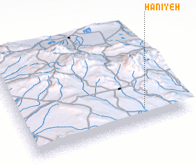 Places with similar names to Ḩanīyeh, Iran ::
Disclaimer :: Information on this page comes without warranty of any kind |
||
|
Where is Ḩanīyeh? Elevation and coordinates ::
Latitude (lat): 29°9'56"N Longitude (lon): 56°45'22"E
Elevation (approx.): 2184m (map arrows pan, magnifying glasses zoom) |
||
|
Visiting Ḩanīyeh? Hotel/Accommodation ::
Book a hotel in Ḩanīyeh Travel Guide ::
Buy a travel guide for Iran rental cars ::
car rental offers GPS waypoint ::
download a GPX waypoint (PoI) of Ḩanīyeh for your GPS receiver
|
||