|
search place name
|
||
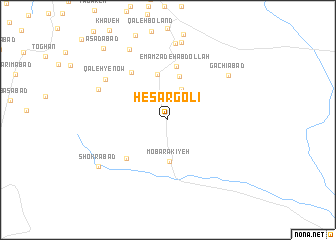
Ḩeşār Golī (Tehrān, Iran)Ḩeşār Golī is a town in the Tehrān region of Iran. An overview map of the region around Ḩeşār Golī is displayed below.
regional and 3d topo map of Ḩeşār Golī, Iran ::
Ḩeşār Golī airports ::
The nearest airport is THR - Teheran Mehrabad Intl, located 76.5 km north west of Ḩeşār Golī.
Other airports nearby include RZR - Ramsar (222.4 km north west), Nearby towns ::
Dowlatābād (3.0km north east) //
Maḩmūdīyeh (3.7km north) //
Mobārakīyeh (4.7km south) //
Karīmābād (5.0km north) //
‘Asgarābād (5.2km north) //
Emāmzādeh ‘Abdollāh (6.0km north) //
Davāzdah Emām (5.7km south west) //
Dowlatābād (6.3km north west) //
Qal‘eh-ye Now (7.3km north west) //
Gachīābād (7.4km north east) //
Tappeh Marjān (7.2km north west) //
Şādeqābād (8.6km north) //
Ḩasanābād-e Kūh Gach (8.7km north) //
Owlīā' (8.7km north west) //
Shokrābād (8.2km south west) //
Asadābād (9.9km north west) //
[all distances 'as the bird flies' and approximate] 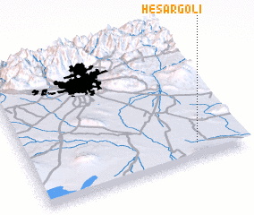 Places with similar names to Ḩeşār Golī, Iran ::
Disclaimer :: Information on this page comes without warranty of any kind |
||
|
Where is Ḩeşār Golī? Elevation and coordinates ::
Latitude (lat): 35°7'8"N Longitude (lon): 51°47'11"E
Elevation (approx.): 803m (map arrows pan, magnifying glasses zoom) |
||
|
Visiting Ḩeşār Golī? Hotel/Accommodation ::
Book a hotel in Ḩeşār Golī Travel Guide ::
Buy a travel guide for Iran rental cars ::
car rental offers GPS waypoint ::
download a GPX waypoint (PoI) of Ḩeşār Golī for your GPS receiver
|
||