|
search place name
|
||
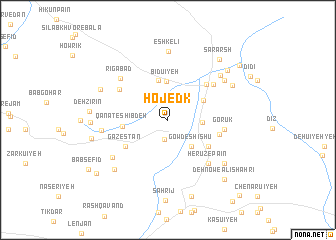
Hojedk (Kermān, Iran)Hojedk is a town in the Kermān region of Iran. An overview map of the region around Hojedk is displayed below.
regional and 3d topo map of Hojedk, Iran ::
Hojedk airports ::
The nearest airport is KER - Kerman, located 55.8 km south of Hojedk.
Nearby towns ::
Ma‘dan-e Hojedk (2.2km south) //
Horgondī (2.8km north) //
Deh Poshteh (3.3km east) //
Gowd-e Shīshū (3.7km south east) //
Bīdū'īyeh (4.3km north) //
Dūgh Kashān (4.1km north east) //
Beyram (4.5km north) //
Qanāt-e Shībdeh (4.4km west) //
Kahn-e Sabz (4.9km south east) //
Gazestān (5.1km south west) //
Pāchenār (5.4km north east) //
Deh Zamān (5.2km east) //
Gorūk (5.6km east) //
Garīk (5.8km north west) //
Sārag (6.0km north east) //
Deh Now-e Ḩājjī Esmāl (6.2km south east) //
Herūz-e Pā'īn (6.2km south east) //
Rīgābād (6.5km north west) //
Gosāvīyeh (6.5km west) //
Chenārū'īyeh (6.8km south west) //
Eshkelī (7.6km north) //
Kahnūj (7.1km north east) //
Āb-e Garm (7.0km north east) //
Herūz-e Bālā (7.3km south east) //
Darb-e Tangal (7.3km north east) //
Tangalū'īyeh (7.6km south west) //
Shāhzādeh Moḩammad (7.3km north west) //
Konū'īyeh (7.4km west) //
Sohrang (8.0km north east) //
[all distances 'as the bird flies' and approximate] 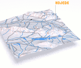 Places with similar names to Hojedk, Iran ::
Disclaimer :: Information on this page comes without warranty of any kind |
||
|
Where is Hojedk? Elevation and coordinates ::
Latitude (lat): 30°46'36"N Longitude (lon): 56°59'35"E
Elevation (approx.): 2081m (map arrows pan, magnifying glasses zoom) |
||
|
Visiting Hojedk? Hotel/Accommodation ::
Book a hotel in Hojedk Travel Guide ::
Buy a travel guide for Iran rental cars ::
car rental offers GPS waypoint ::
download a GPX waypoint (PoI) of Hojedk for your GPS receiver
|
||