|
search place name
|
||
Jelvān (Eşfahān, Iran)Jelvān is a town in the Eşfahān region of Iran. An overview map of the region around Jelvān is displayed below.
regional and 3d topo map of Jelvān, Iran ::
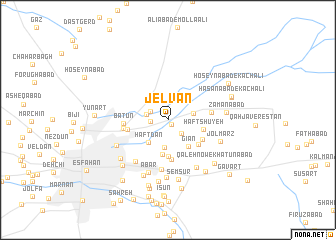
Nearby towns ::
Hasteh (0.6km south east) //
Arzenān (1.7km west) //
Andevān (2.0km south east) //
Dārk (1.9km north west) //
Ostovārchī (2.1km west) //
Dīnān (2.5km east) //
Jowharān (3.0km south) //
Haftdān (3.1km south west) //
Gīān (3.5km south east) //
Joharānjey (3.8km south) //
Rārān-e Qohāb (4.0km south) //
Haft Shūyeh (3.5km east) //
Bahārān (4.0km south east) //
Mūrnān (3.9km south east) //
Lafdān (4.5km south) //
Sūdān (4.0km west) //
Mūlenjān (4.1km east) //
Bātūn (4.2km west) //
Dodāng (4.3km west) //
Kangāz (5.6km south) //
Maḩall-e Emāmzādeh Esḩāg (5.6km south west) //
Moḩammadābād (5.9km south east) //
Abar (6.1km south) //
Jolmarz (5.5km south east) //
Bolūk-e Jey (5.6km south west) //
Khowrāskān (6.4km south) //
Zamānābād (5.5km east) //
Semsūr (6.7km south) //
Būzān (6.6km south) //
[all distances 'as the bird flies' and approximate] 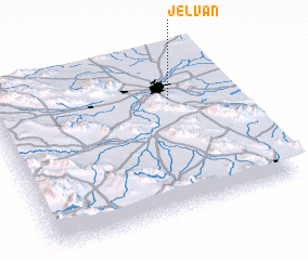 Places with similar names to Jelvān, Iran ::
Disclaimer :: Information on this page comes without warranty of any kind |
||
|
Where is Jelvān? Elevation and coordinates ::
Latitude (lat): 32°42'38"N Longitude (lon): 51°45'11"E
Elevation (approx.): 1552m (map arrows pan, magnifying glasses zoom) |
||
|
Visiting Jelvān? Hotel/Accommodation ::
Book a hotel in Jelvān Travel Guide ::
Buy a travel guide for Iran rental cars ::
car rental offers GPS waypoint ::
download a GPX waypoint (PoI) of Jelvān for your GPS receiver
|
||