|
search place name
|
||
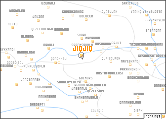
Jīqjīq (Ostān-e Āz̄arbāyjān-e Gharbī, Iran)Jīqjīq is a town in the Ostān-e Āz̄arbāyjān-e Gharbī region of Iran. An overview map of the region around Jīqjīq is displayed below.
regional and 3d topo map of Jīqjīq, Iran ::
Jīqjīq airports ::
The nearest airport is VAN - Van, located 127.3 km south west of Jīqjīq.
Other airports nearby include TBZ - Tabriz Intl (213.9 km south east), Nearby towns ::
Sārem Sākhlū (2.4km north) //
Mehdī Bolāghī (3.6km north east) //
Mārākūmī (4.3km north east) //
Sīrān (4.7km north) //
Gol Mūrs (5.1km south) //
Bāshkand (4.4km north east) //
Qand Khelī (4.2km west) //
Keshtāz (4.9km west) //
Qūrī Bolāgh (4.9km east) //
Shādlū-ye ‘Olyā (6.4km south west) //
Āghbolāgh-e Khāled (6.8km south) //
Moşţafá Qal‘ehsī (6.1km south east) //
Jabbārlū (7.4km south) //
Sārī Ojāq (6.9km north west) //
Gajūt (6.5km north east) //
Badūlī (6.5km west) //
Qezel Sūrī (8.3km south) //
Shādlū-ye Soflá (8.1km south west) //
Orūj Kandī (9.8km south west) //
[all distances 'as the bird flies' and approximate] 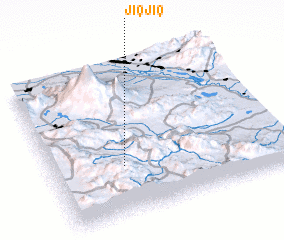
Disclaimer :: Information on this page comes without warranty of any kind |
||
|
Where is Jīqjīq? Elevation and coordinates ::
Latitude (lat): 39°19'40"N Longitude (lon): 44°18'14"E
Elevation (approx.): 1821m (map arrows pan, magnifying glasses zoom) |
||
|
Visiting Jīqjīq? Hotel/Accommodation ::
Book a hotel in Jīqjīq Travel Guide ::
Buy a travel guide for Iran rental cars ::
car rental offers GPS waypoint ::
download a GPX waypoint (PoI) of Jīqjīq for your GPS receiver
|
||