|
search place name
|
||
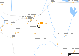
Kahn (Kermān, Iran)Kahn is a town in the Kermān region of Iran. An overview map of the region around Kahn is displayed below.
regional and 3d topo map of Kahn, Iran ::
Kahn airports ::
The nearest airport is KER - Kerman, located 37.0 km south east of Kahn.
Nearby towns ::
Deh-e ‘Abdollah (0.9km north) //
Deh-e Sārdī (2.1km south west) //
Najafābād (2.4km north west) //
Kereshk (2.6km west) //
Sheshtū (3.0km north west) //
Deh-e Bālā (3.2km south west) //
Ḩoseynābād-e Khenāmān (3.4km north east) //
Bībīḩayāt (3.9km north) //
Māhrīnū (5.2km north west) //
Khomrūdū'īyeh (6.0km south) //
Chenāru (5.4km north west) //
Deh-e Mīrzā Aḩmad (6.1km north) //
Aḩmadābād (7.2km north west) //
Bowj (10.6km south east) //
[all distances 'as the bird flies' and approximate] 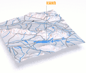 Places with similar names to Kahn, Iran ::
Disclaimer :: Information on this page comes without warranty of any kind |
||
|
Where is Kahn? Elevation and coordinates ::
Latitude (lat): 30°26'53"N Longitude (lon): 56°37'19"E
Elevation (approx.): 2259m (map arrows pan, magnifying glasses zoom) |
||
|
Visiting Kahn? Hotel/Accommodation ::
Book a hotel in Kahn Travel Guide ::
Buy a travel guide for Iran rental cars ::
car rental offers GPS waypoint ::
download a GPX waypoint (PoI) of Kahn for your GPS receiver
|
||