|
search place name
|
||
Kārpedīn (Sīstān va Balūchestān, Iran)Kārpedīn is a town in the Sīstān va Balūchestān region of Iran. An overview map of the region around Kārpedīn is displayed below.
regional and 3d topo map of Kārpedīn, Iran ::

Kārpedīn airports ::
The nearest airport is ZBR - Chah Bahar, located 93.0 km south of Kārpedīn.
Nearby towns ::
Gūranī (0.9km north east) //
Kūshk (1.3km north) //
Potān (2.0km south) //
Mīzeh (2.4km north) //
Bandān (3.3km south) //
Bel Pīr (3.7km north) //
Jowz Dar (6.0km north west) //
Zārān (6.4km north) //
Tāb Kūh (7.1km north west) //
Mokht (10.1km south east) //
[all distances 'as the bird flies' and approximate] 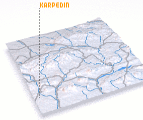 Places with similar names to Kārpedīn, Iran ::
// Gura Padinii (RO)
// Gura Putnei (RO)
// Kuropatin (RU)
// Kuropatino (RU)
// Krypton (US)
// Grapetown (US)
// Gurapatan (IN)
// Creptaine (HT)
// Garpu Town (LR)
// Cropton (GB)
Disclaimer :: Information on this page comes without warranty of any kind |
||
|
Where is Kārpedīn? Elevation and coordinates ::
Latitude (lat): 26°13'43"N Longitude (lon): 60°3'15"E
Elevation (approx.): 503m (map arrows pan, magnifying glasses zoom) |
||
|
Visiting Kārpedīn? Hotel/Accommodation ::
Book a hotel in Kārpedīn Travel Guide ::
Buy a travel guide for Iran rental cars ::
car rental offers GPS waypoint ::
download a GPX waypoint (PoI) of Kārpedīn for your GPS receiver
|
||