|
search place name
|
||
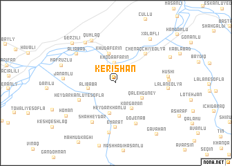
Kerīshān (Iran)Kerīshān is a town in Iran. An overview map of the region around Kerīshān is displayed below.
regional and 3d topo map of Kerīshān, Iran ::
Kerīshān airports ::
The nearest airport is TBZ - Tabriz Intl, located 125.1 km south west of Kerīshān.
Nearby towns ::
Khodā Āfarīn (3.3km north) //
Hamadān (3.5km north east) //
‘Alī Bābā (3.6km west) //
Khudaferin (4.8km north) //
Qal‘eh Gūney (4.1km south east) //
Kārgarān (4.6km south east) //
Ḩeydarkhanlū (4.9km south) //
Ḩeydar Kānlū-ye Soflá (5.4km south west) //
Chenāqchī-ye ‘Olyā (6.0km north east) //
‘Emārat (7.2km south) //
Dojenāb (7.0km south) //
Shāh Ḩeydar (7.0km south west) //
‘Alīābād (6.8km north west) //
Qumlaq (7.5km north west) //
Hamneshīn (8.1km south) //
Mastalybeyli (7.6km north west) //
Jānānlū (6.6km west) //
Lālān-e ‘Olyā (6.7km east) //
Hūshī (6.7km east) //
Zarnaq (6.7km east) //
Xǝlǝfli (8.2km north east) //
Mafrūzlū (7.4km north west) //
Derzili (8.4km north west) //
Homān (8.2km south west) //
Pīrānlū (8.0km north east) //
Gāvāhan (9.8km south east) //
[all distances 'as the bird flies' and approximate] 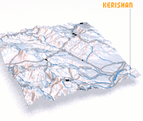 Places with similar names to Kerīshān, Iran ::
Disclaimer :: Information on this page comes without warranty of any kind |
||
|
Where is Kerīshān? Elevation and coordinates ::
Latitude (lat): 39°6'29"N Longitude (lon): 46°57'25"E
Elevation (approx.): 696m (map arrows pan, magnifying glasses zoom) |
||
|
Visiting Kerīshān? Hotel/Accommodation ::
Book a hotel in Kerīshān Travel Guide ::
Buy a travel guide for Iran rental cars ::
car rental offers GPS waypoint ::
download a GPX waypoint (PoI) of Kerīshān for your GPS receiver
|
||