|
search place name
|
||
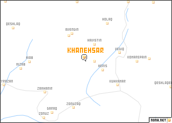
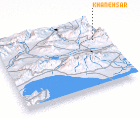
Khāneh Sar (Ostān-e Āz̄arbāyjān-e Gharbī, Iran)Khāneh Sar is a town in the Ostān-e Āz̄arbāyjān-e Gharbī region of Iran. An overview map of the region around Khāneh Sar is displayed below.
regional and 3d topo map of Khāneh Sar, Iran ::
Khāneh Sar airports ::
The nearest airport is TBZ - Tabriz Intl, located 68.7 km south east of Khāneh Sar.
Nearby towns ::
 Places with similar names to Khāneh Sar, Iran ::
// Khān as Sūr (IQ)
// Khān Zūr (IQ)
// Khiunsar (IN)
// Khan-Nazar (UZ)
// Khāneh Sar (IR)
// Khenẕīrī (IR)
// Khūnī Sar (IR)
// Khānsar (PK)
// Khīnsar (PK)
// Khinsar (PK)
Disclaimer :: Information on this page comes without warranty of any kind |
||
|
Where is Khāneh Sar? Elevation and coordinates ::
Latitude (lat): 38°42'0"N Longitude (lon): 45°55'0"E
Elevation (approx.): 2140m (map arrows pan, magnifying glasses zoom) |
||
|
Visiting Khāneh Sar? Hotel/Accommodation ::
Book a hotel in Khāneh Sar Travel Guide ::
Buy a travel guide for Iran rental cars ::
car rental offers GPS waypoint ::
download a GPX waypoint (PoI) of Khāneh Sar for your GPS receiver
|
||