|
search place name
|
||
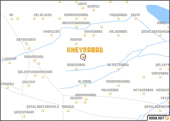
Kheyrābād (Iran)Kheyrābād is a town in Iran. An overview map of the region around Kheyrābād is displayed below.
regional and 3d topo map of Kheyrābād, Iran ::
Kheyrābād airports ::
The nearest airport is THR - Teheran Mehrabad Intl, located 132.9 km east of Kheyrābād.
Other airports nearby include RZR - Ramsar (133.7 km north east), RAS - Rasht (159.9 km north), Nearby towns ::
Zeynābād (1.0km north) //
‘Alīābād (1.9km north) //
Bāqerābād (2.4km south west) //
Paspar (4.0km north) //
‘Alīābād (5.6km south) //
Machīn (5.6km north) //
Sakhsābād (5.8km north) //
‘Alīreẕāābād (6.3km east) //
Moḩammadābād-e Kharūd (7.6km north) //
‘Abd or Robābābād (7.6km north) //
Maḩmūdābād-e Kharrūd (8.0km north) //
Ebrāhīmābād (8.6km south) //
Moḩammadābād (8.2km south east) //
Valadābād (8.2km north east) //
Majīdābād (8.7km south east) //
Kharūzān (8.2km north west) //
[all distances 'as the bird flies' and approximate] 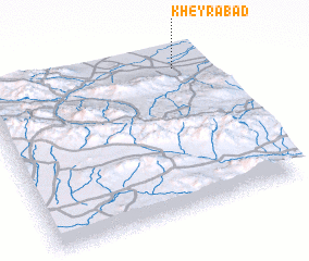 Places with similar names to Kheyrābād, Iran ::
Disclaimer :: Information on this page comes without warranty of any kind |
||
|
Where is Kheyrābād? Elevation and coordinates ::
Latitude (lat): 35°54'0"N Longitude (lon): 49°52'0"E
Elevation (approx.): 1232m (map arrows pan, magnifying glasses zoom) |
||
|
Visiting Kheyrābād? Hotel/Accommodation ::
Book a hotel in Kheyrābād Travel Guide ::
Buy a travel guide for Iran rental cars ::
car rental offers GPS waypoint ::
download a GPX waypoint (PoI) of Kheyrābād for your GPS receiver
|
||