|
search place name
|
||
Kheyrūmandān (Ostān-e Kermānshāh, Iran)Kheyrūmandān is a town in the Ostān-e Kermānshāh region of Iran. An overview map of the region around Kheyrūmandān is displayed below.
regional and 3d topo map of Kheyrūmandān, Iran ::

Kheyrūmandān airports ::
The nearest airport is KSH - Bakhtaran Shahid Ashrafi Esfahani, located 66.7 km west of Kheyrūmandān.
Other airports nearby include SDG - Sanandaj (127.6 km north west), Nearby towns ::
Sarāb-e Bābā ‘Alī (1.6km south east) //
Halāchārū (2.2km north) //
Cheshmeh Derāzeh (2.4km north west) //
Khoshkeh Ḩareh (2.4km north east) //
Khālenjah (4.0km north) //
Haft Khānī (3.6km south east) //
Do Āb (4.4km north east) //
Mīrzā Valī (5.0km south west) //
Vanākūh (4.9km west) //
Dārbīd (5.0km west) //
Sar Khelaj (6.2km south) //
Chofteh Darreh (5.9km north west) //
Deh Lor (6.7km north) //
Ārān (7.1km north) //
Dehnow (7.4km north) //
Sarāb (7.4km north) //
Sarāb-e Dehlor (7.6km north) //
Dehnow-e Deh Kohneh (7.6km north) //
Kūtāh Darreh (7.1km south east) //
Gandāb (8.4km north) //
Kalgā Darreh (8.3km north west) //
Cheshmeh Kabūd (8.7km north west) //
Khoshk Ābkhowreh (8.7km north west) //
Qareh Banās (8.6km north east) //
[all distances 'as the bird flies' and approximate] 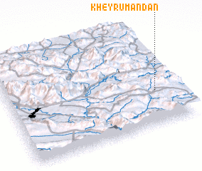 Places with similar names to Kheyrūmandān, Iran :: Disclaimer :: Information on this page comes without warranty of any kind |
||
|
Where is Kheyrūmandān? Elevation and coordinates ::
Latitude (lat): 34°21'0"N Longitude (lon): 47°53'0"E
Elevation (approx.): 1489m (map arrows pan, magnifying glasses zoom) |
||
|
Visiting Kheyrūmandān? Hotel/Accommodation ::
Book a hotel in Kheyrūmandān Travel Guide ::
Buy a travel guide for Iran rental cars ::
car rental offers GPS waypoint ::
download a GPX waypoint (PoI) of Kheyrūmandān for your GPS receiver
|
||