|
search place name
|
||
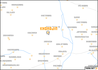
Khomājīn (Hamadān, Iran)Khomājīn is a town in the Hamadān region of Iran. An overview map of the region around Khomājīn is displayed below.
regional and 3d topo map of Khomājīn, Iran ::
Khomājīn airports ::
The nearest airport is KSH - Bakhtaran Shahid Ashrafi Esfahani, located 178.0 km west of Khomājīn.
Nearby towns ::
Qeshlāq-e ‘Olyā (2.4km north east) //
Qeshlāq-e Soflá (2.4km north east) //
Varkesh (3.5km south) //
Fīrūzābād (4.7km north east) //
Kowzareh (5.3km west) //
Kheyrābād (6.6km north) //
Dowlatābād (6.0km south east) //
‘Abd or Raḩīm (8.2km south) //
Rāhjerd (8.3km south east) //
‘Āşemābād (7.6km east) //
Aḩmadābād-e Tappeh (9.6km south west) //
[all distances 'as the bird flies' and approximate] 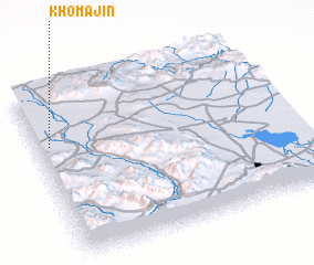
Disclaimer :: Information on this page comes without warranty of any kind |
||
|
Where is Khomājīn? Elevation and coordinates ::
Latitude (lat): 34°40'52"N Longitude (lon): 49°3'13"E
Elevation (approx.): 1629m (map arrows pan, magnifying glasses zoom) |
||
|
Visiting Khomājīn? Hotel/Accommodation ::
Book a hotel in Khomājīn Travel Guide ::
Buy a travel guide for Iran rental cars ::
car rental offers GPS waypoint ::
download a GPX waypoint (PoI) of Khomājīn for your GPS receiver
|
||