|
search place name
|
||
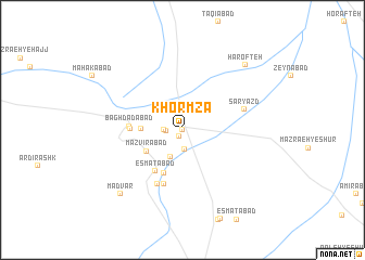
Khormzā (Iran)Khormzā is a town in Iran. An overview map of the region around Khormzā is displayed below.
regional and 3d topo map of Khormzā, Iran ::
Khormzā airports ::
The nearest airport is AZD - Yazd Shahid Sadooghi, located 40.0 km north west of Khormzā.
Nearby towns ::
Mazra‘eh-ye Bālā (0.0km north) //
Mongābād (0.8km south west) //
Mehr Pādīn (1.4km west) //
Mazra‘eh-ye Pā'īn (1.6km west) //
Mānīkābād (1.9km north) //
Bāgh-e Dehūk (2.0km south) //
'oseynābād (3.0km south) //
Mazvīrābād (3.8km south west) //
Mehrīz (3.7km west) //
Mīrokābād (4.7km south) //
‘Eşmatābād (4.9km south west) //
Seyyed ‘Alīshāh (4.6km west) //
Baghdādābād (4.7km west) //
Khowrmīz-e Pā'īn (5.8km south) //
Khūrmīz-e Bālā (6.0km south) //
Sar Yazd (5.8km east) //
Madvār (8.6km south west) //
Harofteh (8.6km north east) //
[all distances 'as the bird flies' and approximate] 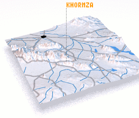
Disclaimer :: Information on this page comes without warranty of any kind |
||
|
Where is Khormzā? Elevation and coordinates ::
Latitude (lat): 31°35'0"N Longitude (lon): 54°28'0"E
Elevation (approx.): 1451m (map arrows pan, magnifying glasses zoom) |
||
|
Visiting Khormzā? Hotel/Accommodation ::
Book a hotel in Khormzā Travel Guide ::
Buy a travel guide for Iran rental cars ::
car rental offers GPS waypoint ::
download a GPX waypoint (PoI) of Khormzā for your GPS receiver
|
||