|
search place name
|
||
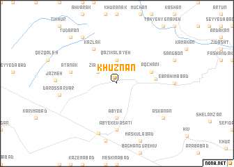
Khūznān (Iran)Khūznān is a town in Iran. An overview map of the region around Khūznān is displayed below.
regional and 3d topo map of Khūznān, Iran ::
Khūznān airports ::
The nearest airport is THR - Teheran Mehrabad Intl, located 83.7 km south east of Khūznān.
Other airports nearby include RZR - Ramsar (88.8 km north), RAS - Rasht (158.4 km north west), Nearby towns ::
Zīārān (3.0km north west) //
Qāẕī Kalāyeh (3.7km north) //
Ābyek (5.6km south) //
Ābyek-e ‘Olyā (5.6km south) //
Āqcharī (4.9km east) //
Şamghābād (5.0km east) //
Kaz̄lak (6.3km north west) //
Ābyek-e Vasaţī (7.4km south) //
Ātānak (6.3km west) //
Ābyek (8.3km south) //
Kahvān (8.7km north west) //
Askanān (8.2km south east) //
Tūdārān (9.5km north west) //
[all distances 'as the bird flies' and approximate] 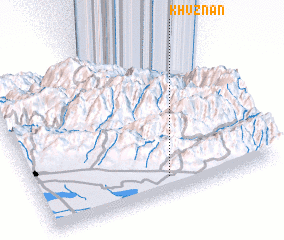 Places with similar names to Khūznān, Iran ::
// Khūznīn (IR)
Disclaimer :: Information on this page comes without warranty of any kind |
||
|
Where is Khūznān? Elevation and coordinates ::
Latitude (lat): 36°7'0"N Longitude (lon): 50°33'0"E
Elevation (approx.): 1617m (map arrows pan, magnifying glasses zoom) |
||
|
Visiting Khūznān? Hotel/Accommodation ::
Book a hotel in Khūznān Travel Guide ::
Buy a travel guide for Iran rental cars ::
car rental offers GPS waypoint ::
download a GPX waypoint (PoI) of Khūznān for your GPS receiver
|
||